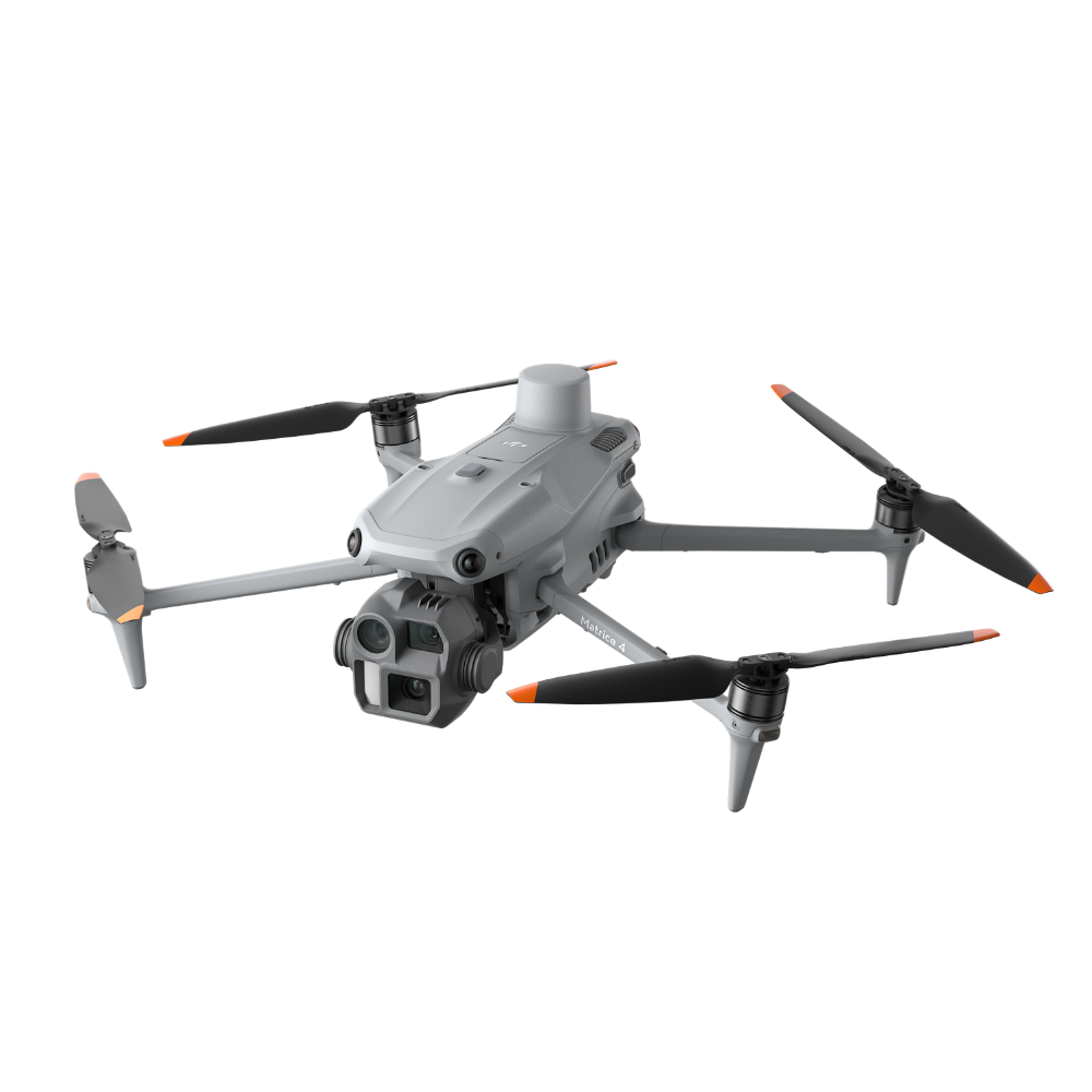
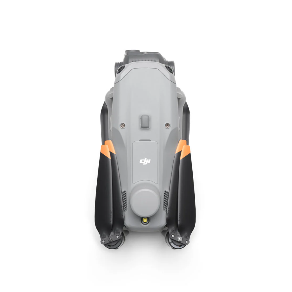
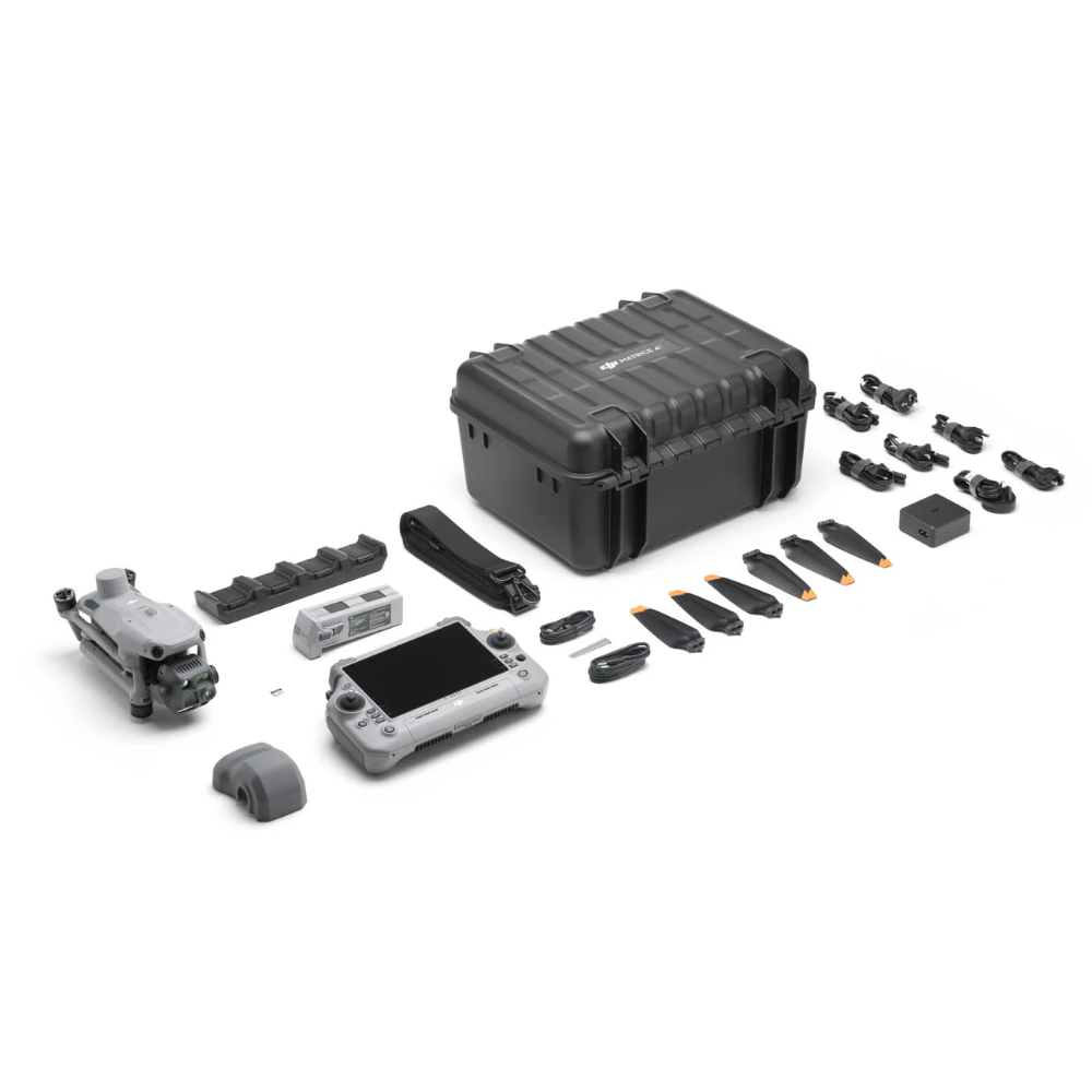
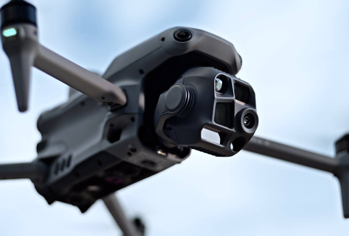
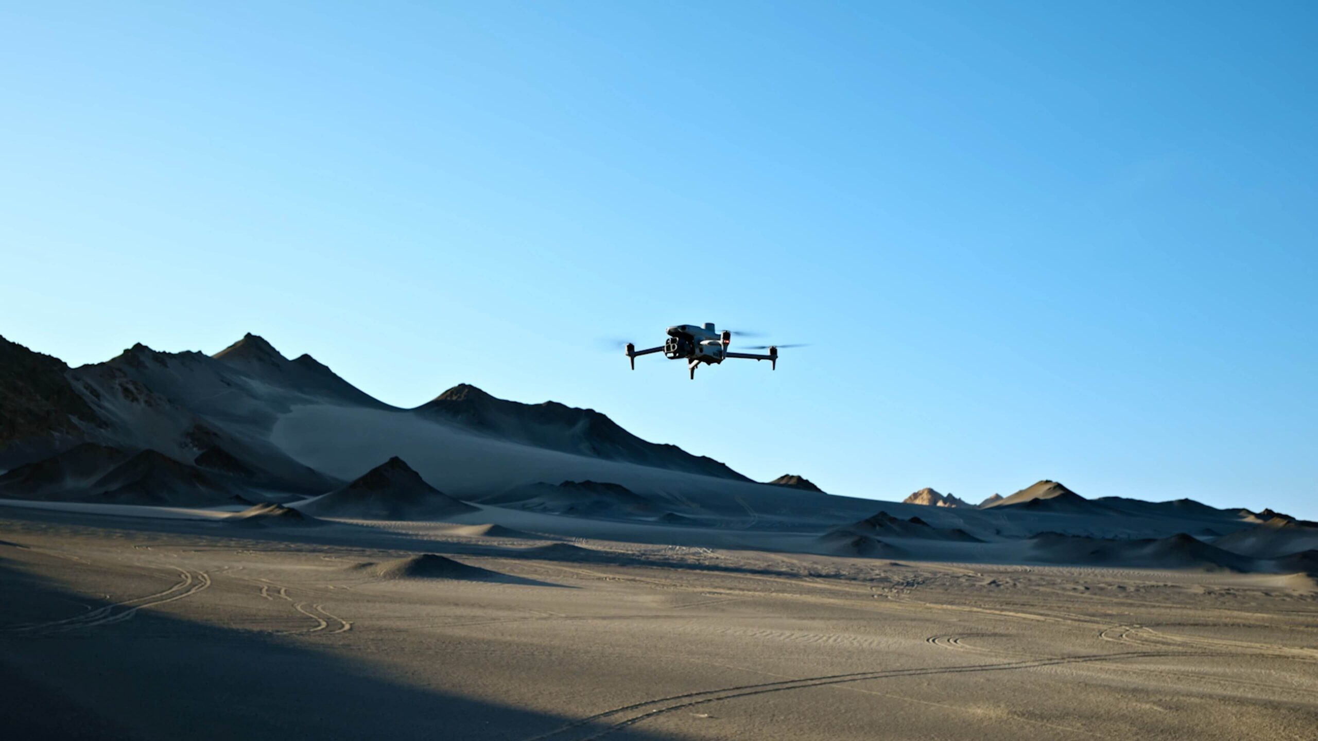
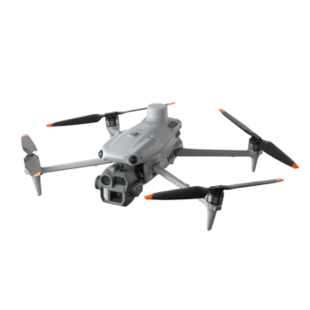
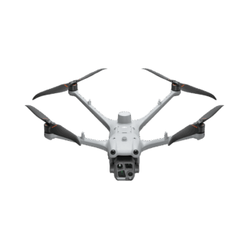
The DJI Matrice 4T puts wide, medium-telephoto and telephoto cameras alongside a thermal camera, laser rangefinder and near-infrared auxiliary light. It is designed for inspection and response teams that need to understand a scene from several perspectives. Thermal imagery can reveal temperature differences, while the visible-light cameras help the operator identify and document what is being observed.
Watch DJI Matrice 4T on DJI’s YouTube channel. The film may show optional equipment or other models in the same series.
The thermal camera supports temperature-assessment workflows and observation in darkness, with a native 640 × 512 sensor. Visible-light views help establish what a thermal feature corresponds to on the ground or on an asset. Thermal readings depend on distance, surface emissivity, reflections and environmental conditions. Use the imagery to investigate and document a finding rather than assume every bright area is a fault or a person.

Three 48 MP visible-light cameras provide wide, medium and telephoto perspectives. The operator can retain an overview of the scene and then inspect detail from an appropriate stand-off distance. Low-light modes and the NIR auxiliary light assist supported night workflows. NIR illumination and thermal imaging perform different jobs: one helps a compatible camera see a dark scene, while the other shows thermal information.
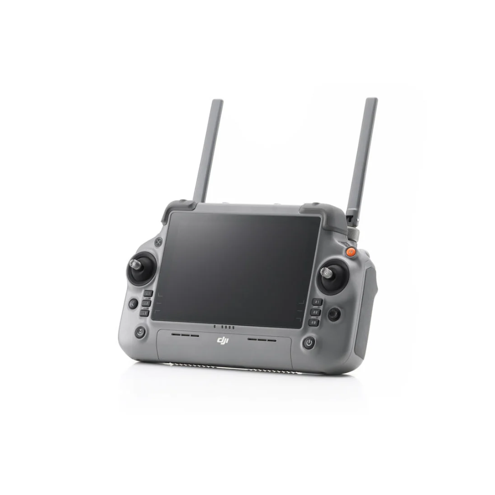
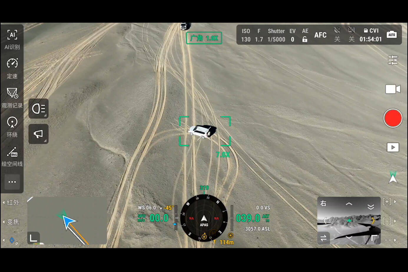
The laser rangefinder supports measuring and marking targets in DJI Pilot 2. Supported intelligent detection and observation tools can help organise a search or inspection, while the controller keeps mission information available to the pilot. Optional AS1 speaker and AL1 spotlight accessories extend communications or illumination where appropriate. Their availability does not mean they are included with the aircraft.
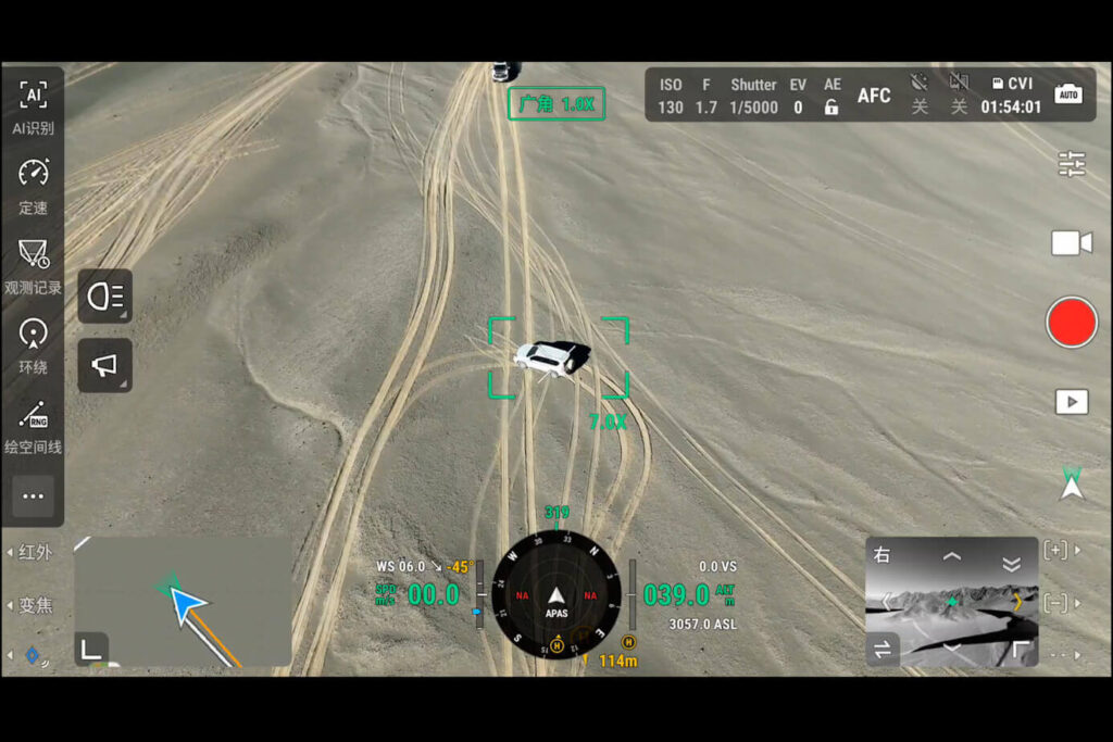
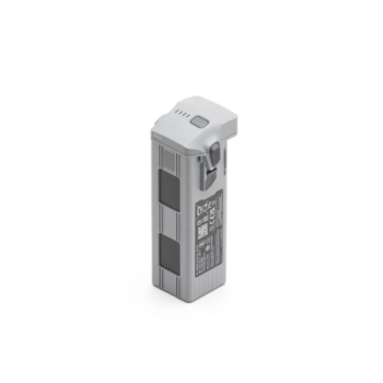
Integrated RTK capability and O4 Enterprise transmission support the field workflow with suitable correction data and a compatible controller. DJI specifies up to 49 minutes of flight time with standard propellers in controlled tests. The Matrice 4T is not waterproof and its aircraft operating range is -10°C to 40°C. Battery reserve, wind, accessories and temperature should be considered when planning the mission.
| Wide / medium / tele cameras | 48 MP each |
|---|---|
| Native thermal resolution | 640 × 512 |
| Thermal functions | Spot and area temperature measurement in supported modes |
| Additional sensors | Laser rangefinder and NIR auxiliary light |
| Positioning | Integrated RTK capability; corrections required |
| Maximum flight time | 49 min standard propellers; 46 min low-noise propellers, in DJI tests |
| Transmission / controller | O4 Enterprise / RC Plus 2 Enterprise |
| Weather / temperature | Not waterproof; -10°C to 40°C |
* Maximum performance figures are measured in DJI’s specified test conditions. Actual endurance, payload and application results depend on configuration, terrain, weather and operating settings.
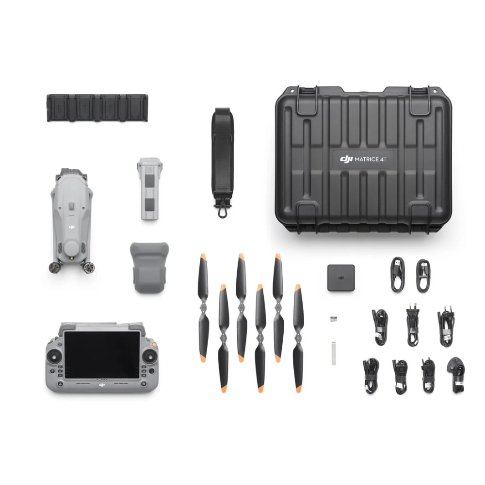
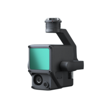
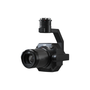
Confirm the supplied package with Afridrones. The standard charging setup uses the 100W adapter and matching hub. Speakers, spotlights, RTK reference equipment, spare batteries and software services are separate options. DJI’s launch video covers both 4E and 4T; the 4E mechanical-shutter mapping camera is not the camera fitted to the 4T.
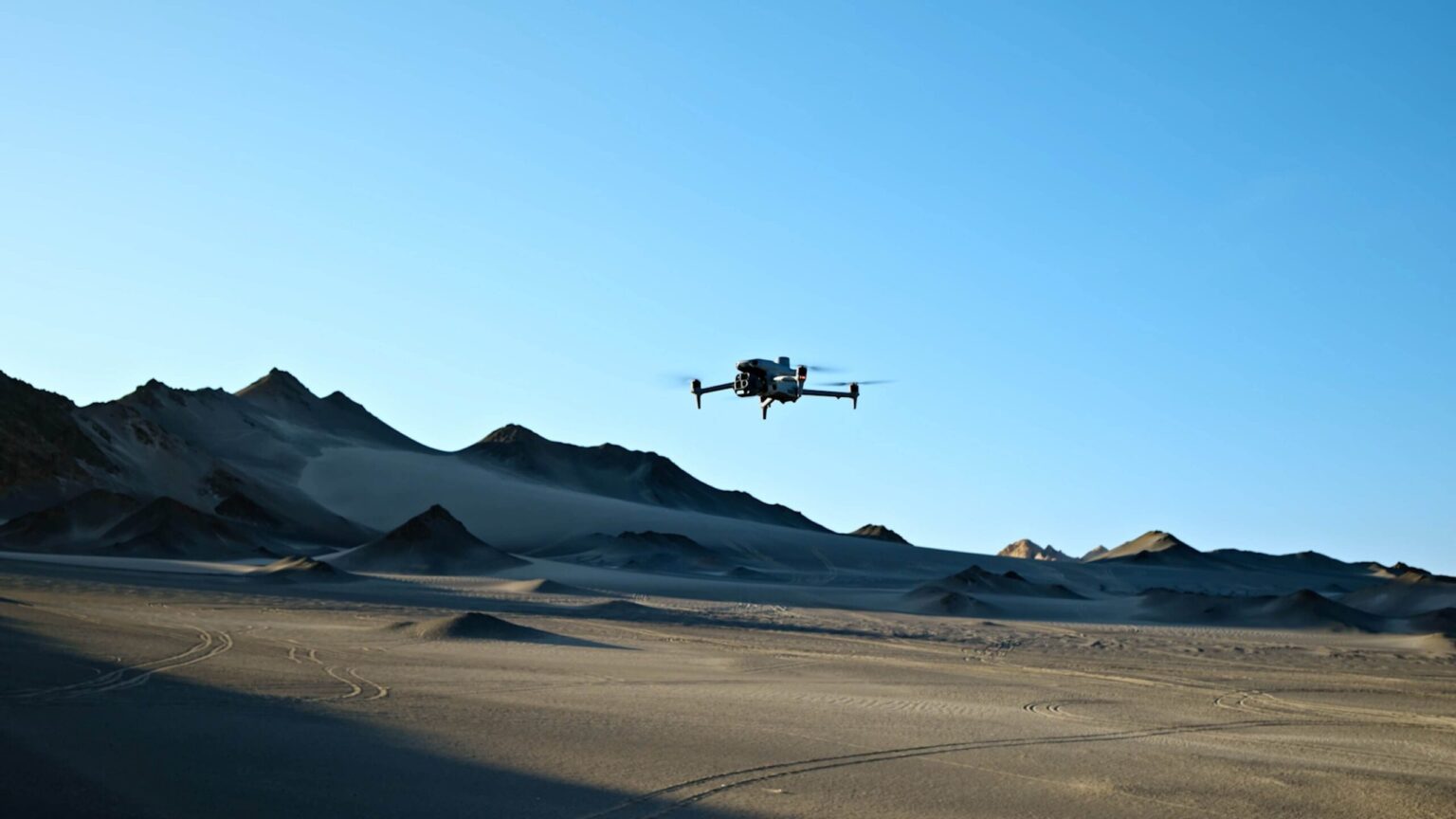
Explore the manufacturer’s product overview, full specifications and manuals and downloads.
Scan suitable terrain with thermal imagery, then use visible-light views to investigate a possible subject. Marking and observation tools can help a flight team pass a useful location to responders, with the finding confirmed through the operational response.
Capture thermal patterns and corresponding visible images to help trained inspectors identify areas for follow-up. Flight conditions, viewing angle and asset operating state matter when comparing temperatures.
Thermal and zoom views can support observation over suitable farm or conservation terrain. Plan around vegetation cover and animal disturbance, and verify detections rather than relying on automatic recognition alone.
Provide an aerial overview of a fire aftermath, incident area or damaged structure where conditions permit. Thermal and visible records can help teams decide where a closer ground inspection is needed.
You must be logged in to post a review.

Reviews
There are no reviews yet.