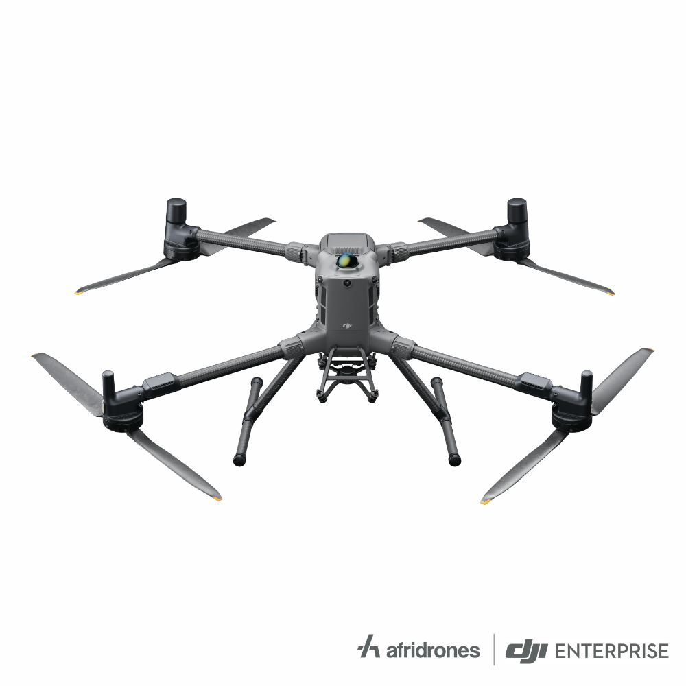
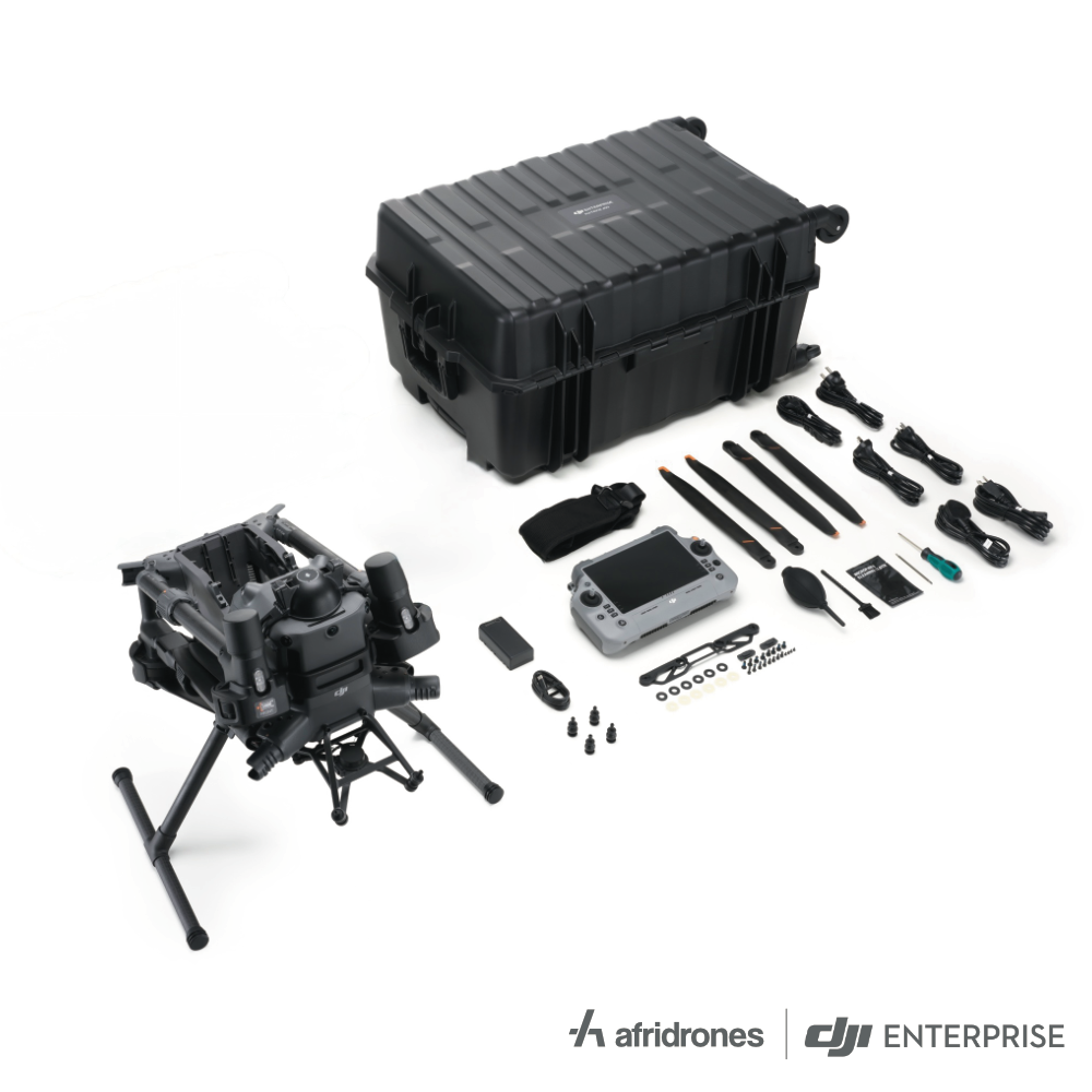
The DJI Matrice 400 is a long-endurance enterprise platform for teams that need to select the payload around the task. It supports compatible imaging, mapping and other mission equipment, with a maximum payload of up to 6 kg under the specified configuration. Rotating LiDAR, millimetre-wave radar and vision sensors help the pilot understand the flight environment, while advanced route and control functions support structured operations.
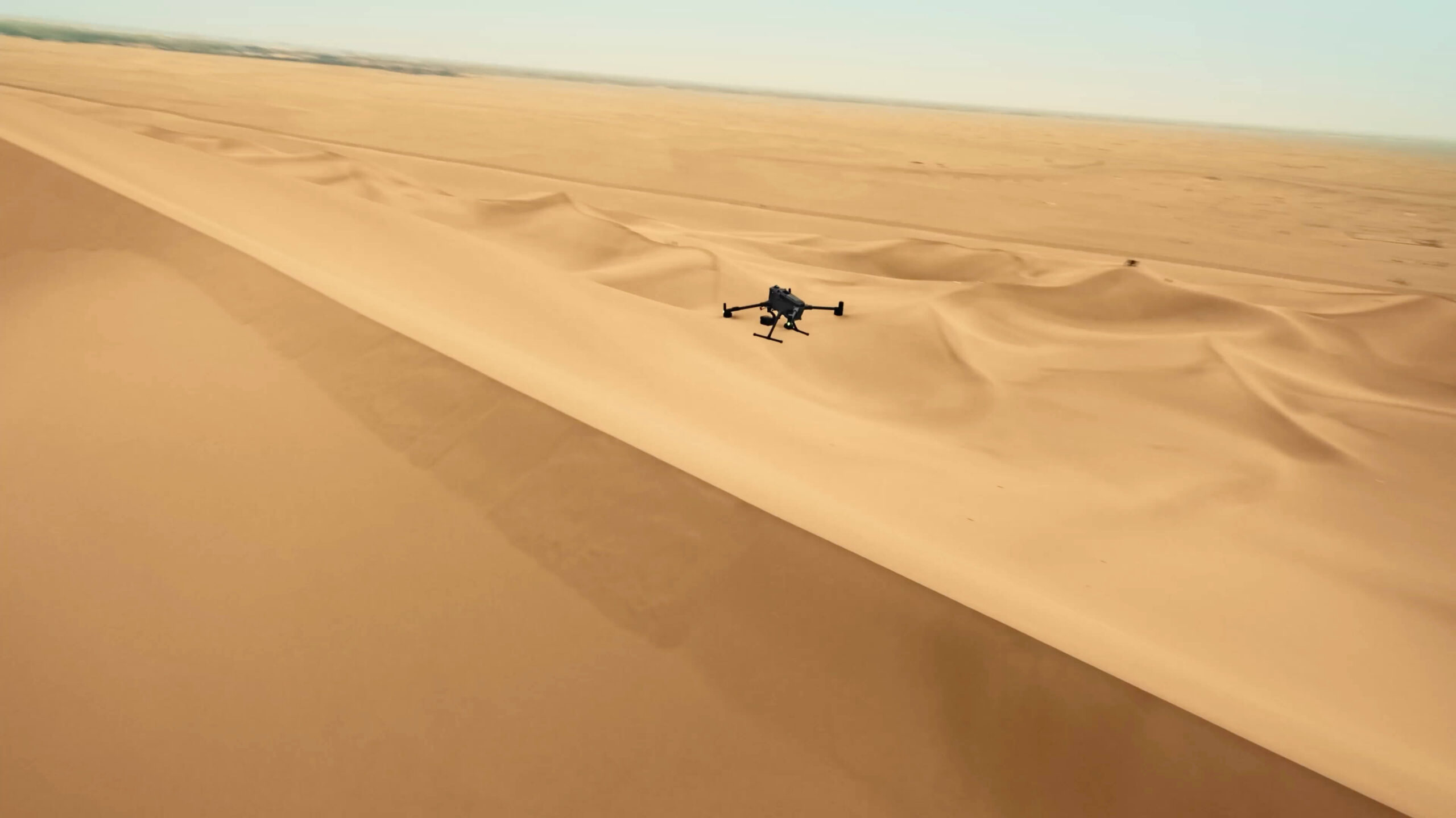
Watch DJI Matrice 400 on DJI’s YouTube channel. The film may show optional equipment or other models in the same series.
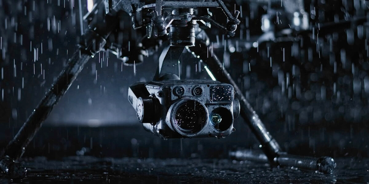
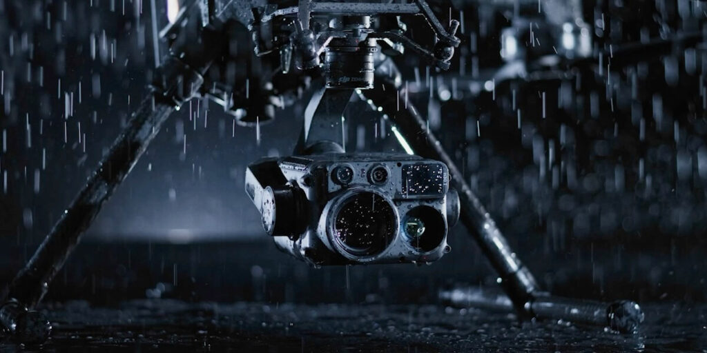
A payload aircraft gives you a different purchasing decision from a drone with a fixed camera. A compatible H30T can support visible and thermal inspection, while compatible P1 or LiDAR payloads support their respective mapping workflows. Spotlights and speakers can extend supported response tasks. Payloads, connectors and firmware must be matched to the aircraft. Neither a thermal camera nor a LiDAR mapping sensor is automatically included in the airframe price.
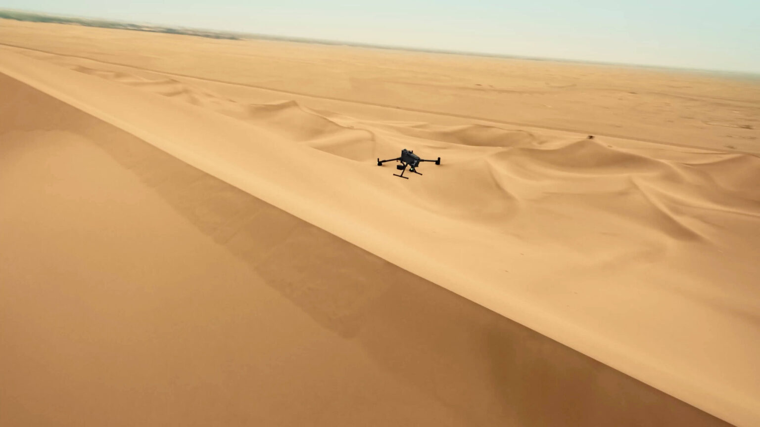
DJI’s 59-minute maximum forward-flight figure was measured with an H30T payload under controlled conditions. Additional equipment, wind, manoeuvring and reserve requirements change the usable mission time. The 6 kg maximum payload is specified at the third gimbal connector at sea level; individual mounting positions have their own limits, and capacity decreases with altitude. Plan the complete installed configuration rather than treating the headline figure as a limit for every mount.
Rotating LiDAR, mmWave radar and low-light vision contribute to obstacle sensing, including DJI’s supported power-line detection functions. Terrain-following and visual assistance can help the operator maintain awareness during a route. These systems have environmental and operational limits, so the flight plan still needs suitable clearances, a checked route and pilot supervision. Detection capability should not be interpreted as permission to fly close to an energised asset.
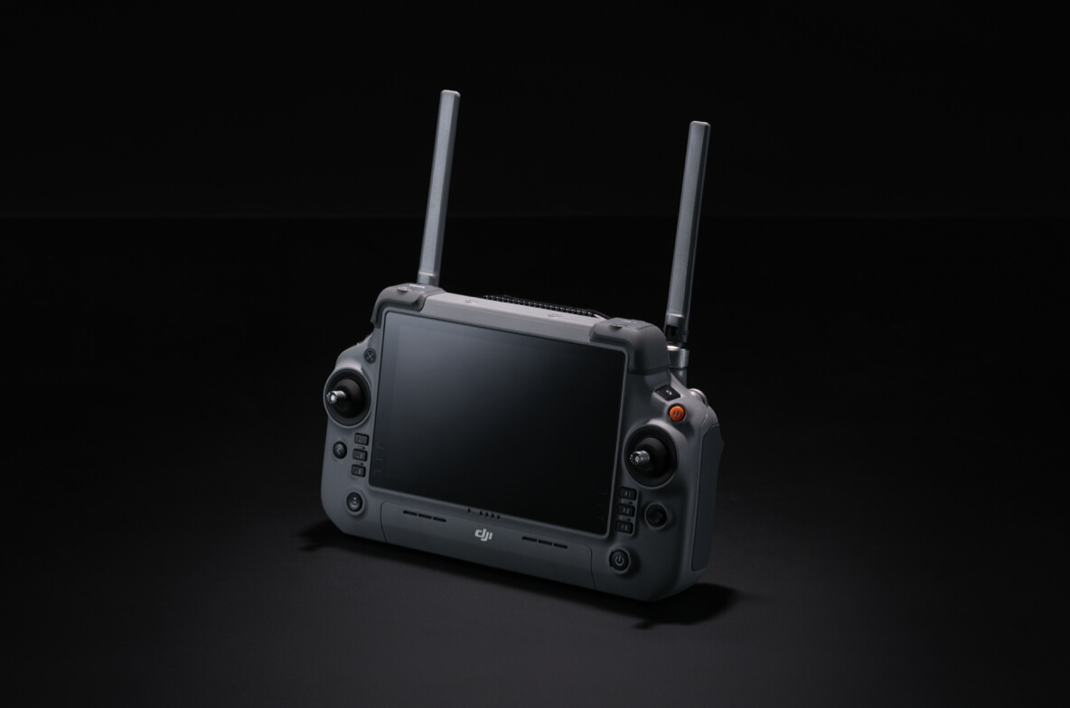
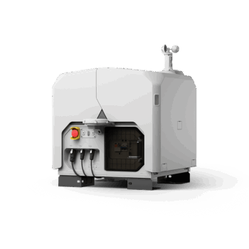
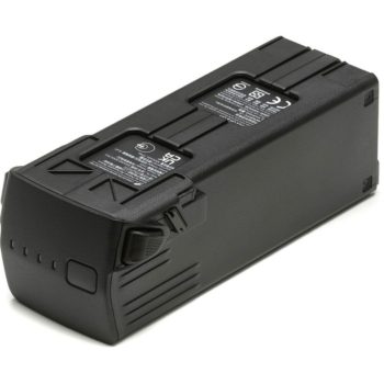
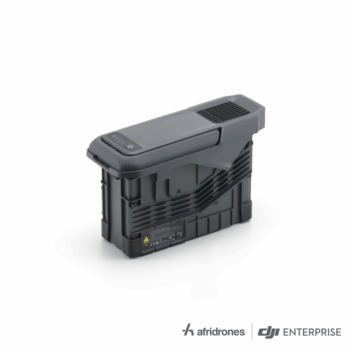
O4 Enterprise Enhanced transmission and the RC Plus 2 Enterprise Enhanced controller support the mission interface. Compatible FlightHub 2 services can extend coordination and data workflows, while the optional Manifold 3 computer supports configured onboard applications. Manifold 3 is an accessory, not the built-in flight processor. The TB100 battery and BS100 station should be planned alongside the payload, transport and field-support requirements.
| Maximum forward-flight time | 59 minutes in DJI testing with H30T payload |
|---|---|
| Maximum hover time | 53 minutes in DJI test conditions |
| Maximum payload | 6 kg at the third gimbal connector, sea level; other limits apply |
| Aircraft protection | IP55 under the prescribed conditions |
| Aircraft operating temperature | -20°C to 50°C |
| Sensing | Rotating LiDAR, mmWave radar and vision sensors |
| Transmission | O4 Enterprise Enhanced |
| Power system | TB100 battery / compatible BS100 station |
* Maximum performance figures are measured in DJI’s specified test conditions. Actual endurance, payload and application results depend on configuration, terrain, weather and operating settings.
Confirm the supplied aircraft package with Afridrones. Cameras, LiDAR mapping payloads, gimbal connectors, speaker, spotlight and Manifold 3 are separate options unless specified. Photos and DJI’s video show example payload configurations. Select each component for the task and check compatibility, payload balance and firmware before use.
Explore the manufacturer’s product overview, full specifications and manuals and downloads.
Pair the platform with a suitable inspection payload to collect detailed asset imagery along a planned route. Sensing and route tools support the pilot, while qualified inspectors interpret the captured evidence and define follow-up work.
Fit a compatible photogrammetry or LiDAR payload for the required deliverable. Coordinate positioning, control, processing software and quality checks so the final data meets the project specification.
Select thermal imaging and, where suitable, optional illumination or voice equipment to support responders. Payload flexibility is useful when the mission needs more than a single fixed camera.
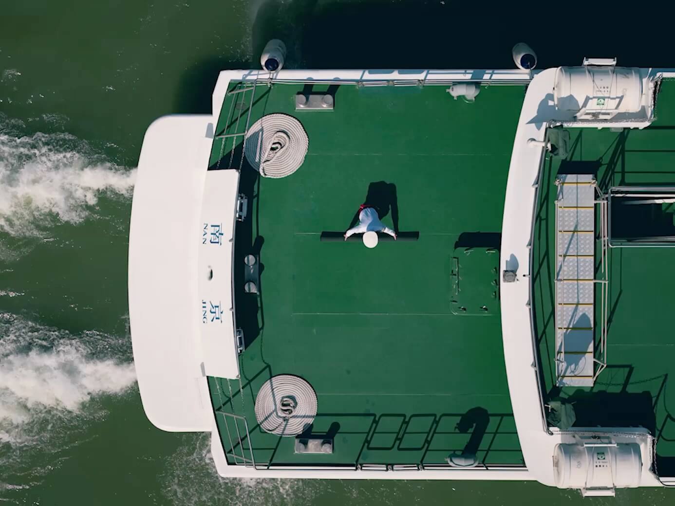
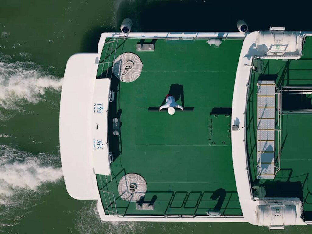
Supported ship-based takeoff and landing functions can assist appropriately planned maritime work. Vessel conditions, wind, recovery space and payload selection need to be assessed for the specific operation; IP55 is not a blanket approval for exposure to seawater.
You must be logged in to post a review.

Reviews
There are no reviews yet.