
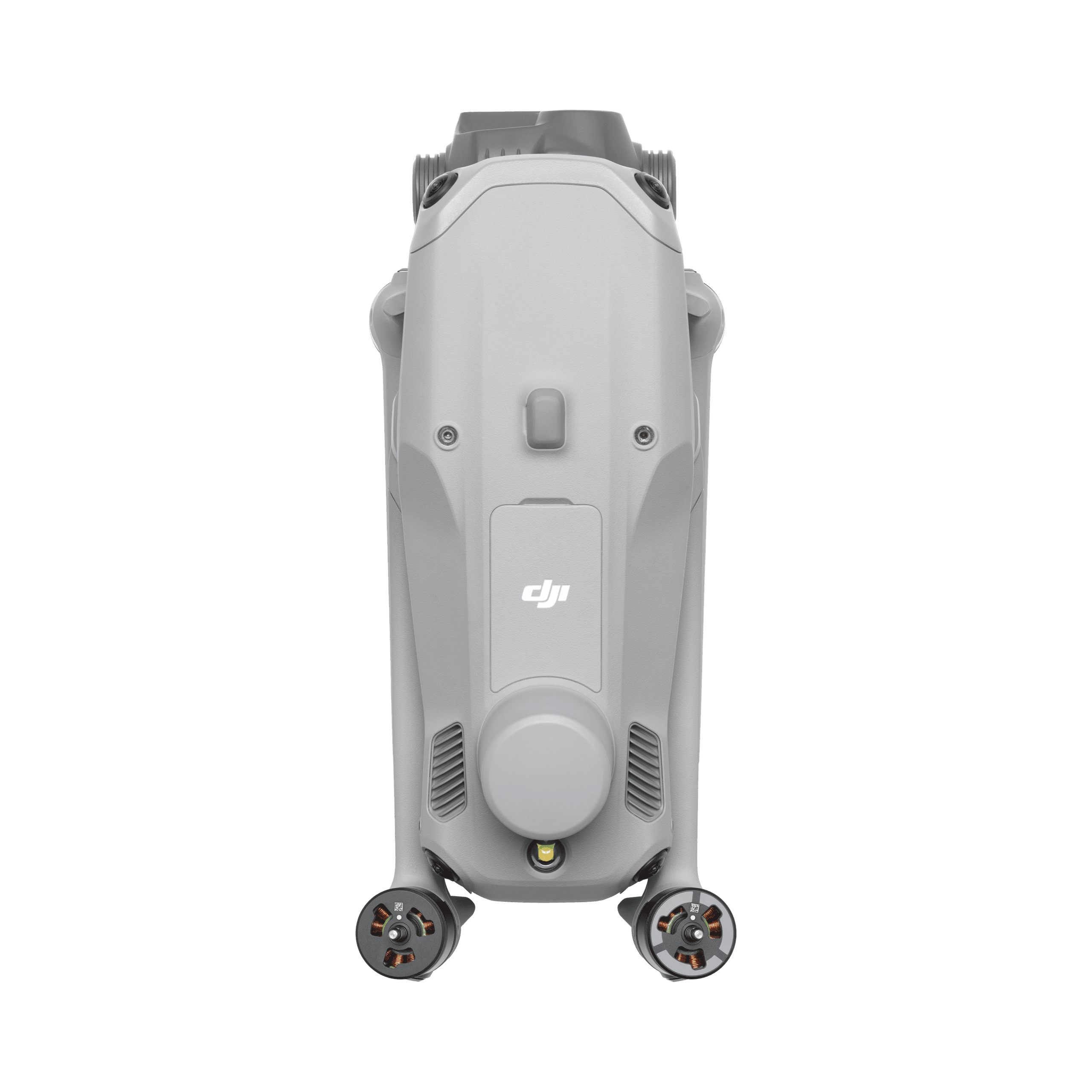
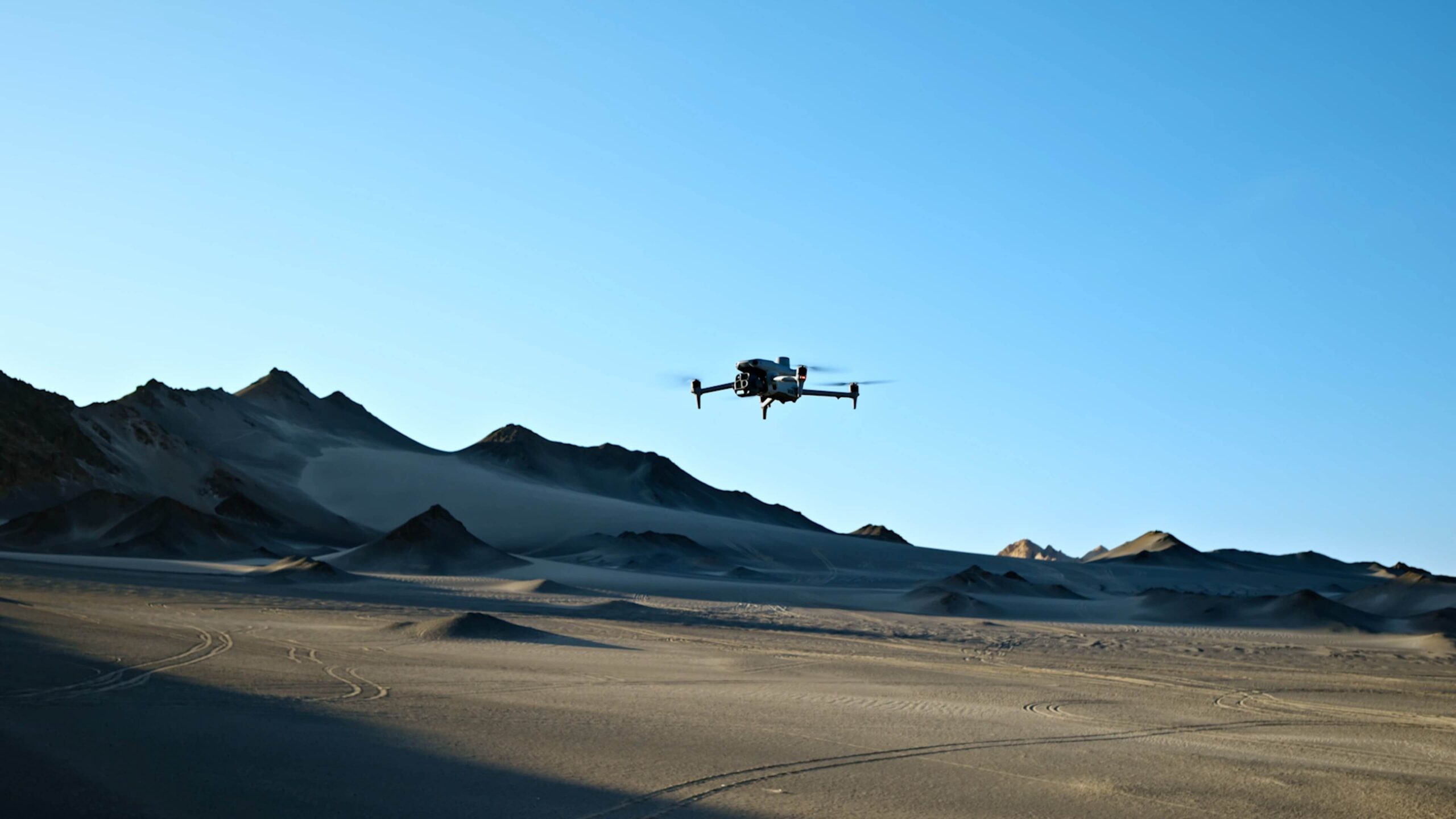
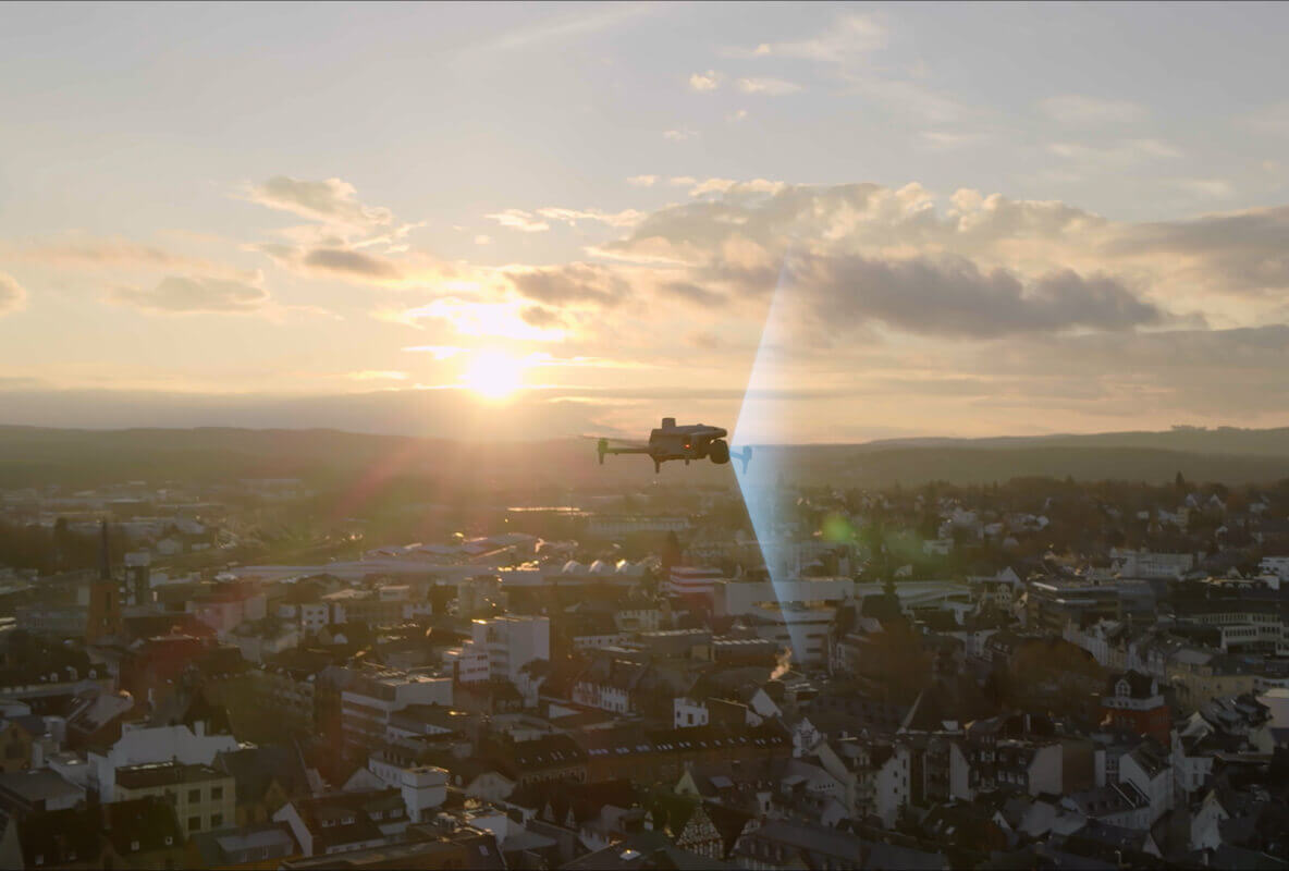
The DJI Matrice 4E combines a 20 MP Four Thirds mechanical-shutter camera, two telephoto cameras and a laser rangefinder in a compact enterprise platform. It is designed for teams that need both an efficient mapping camera and the ability to examine visible detail during the same site visit. Integrated RTK capability and DJI Pilot 2 support the wider mission workflow from planning through data collection.
Watch DJI Matrice 4E on DJI’s YouTube channel. The film may show optional equipment or other models in the same series.
The Four Thirds wide camera uses a mechanical shutter to support image capture while the aircraft moves. Fast interval shooting and supported oblique-capture functions help build a complete image set for photogrammetry. The practical advantage is a camera and route workflow suited to mapping, rather than a reliance on a high megapixel count alone. Flight height, image overlap and processing still determine whether the dataset meets the project’s needs.
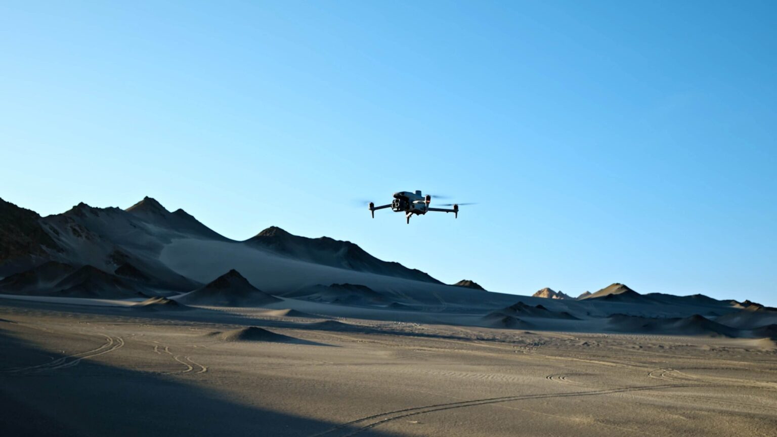
The 48 MP medium-telephoto and telephoto cameras offer different viewing angles for visual inspection. Operators can move from a site overview to closer detail on structures or equipment. The laser rangefinder supports distance measurement and location marking in supported workflows. These tools help document and communicate findings, while precise engineering measurements still require an appropriate survey method and verification.
DJI Pilot 2 supports planned routes and mapping functions, including workflows for collecting detailed oblique imagery. RTK positioning requires suitable corrections; the presence of an RTK receiver alone does not establish a project’s accuracy. Processing software, control points and checkpoints should be chosen around the intended output, whether it is a visual progress model or a measured survey deliverable.
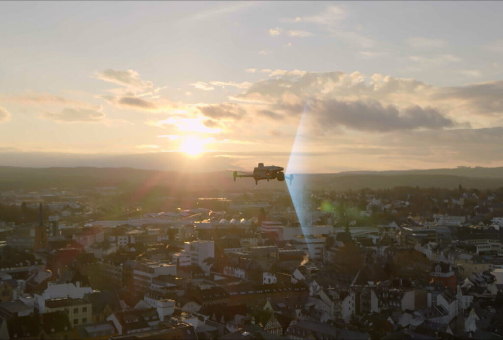
The RC Plus 2 Enterprise controller provides the field interface, with O4 Enterprise transmission and a bright display. Optional accessories can extend the supported workflow, but add weight and may affect endurance. DJI specifies up to 49 minutes with standard propellers under test conditions. The aircraft is not waterproof, so site planning should account for rain and the stated -10°C to 40°C operating range.
| Wide camera | 20 MP, 4/3 CMOS with mechanical shutter |
|---|---|
| Medium telephoto | 48 MP; 70 mm equivalent |
| Telephoto | 48 MP; 168 mm equivalent |
| Rangefinder | Laser measurement and marking support |
| Positioning | Integrated RTK capability; corrections required |
| Maximum flight time | 49 min standard propellers; 46 min low-noise propellers, in DJI tests |
| Transmission / controller | O4 Enterprise / RC Plus 2 Enterprise |
| Weather / temperature | Not waterproof; -10°C to 40°C |
* Maximum performance figures are measured in DJI’s specified test conditions. Actual endurance, payload and application results depend on configuration, terrain, weather and operating settings.
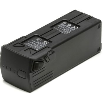
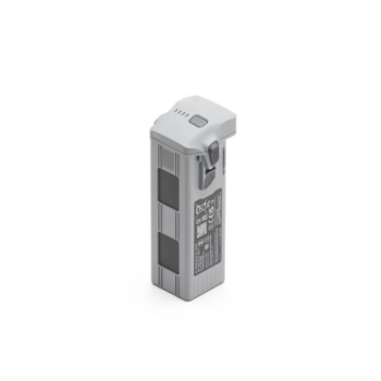
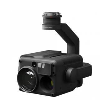
Confirm the supplied package with Afridrones. The standard Matrice 4E charging arrangement uses the 100W adapter and matching charging hub. RTK base stations, positioning services, extra batteries and processing licences are separate unless specified. DJI’s series launch video also shows the Matrice 4T; thermal imaging is a 4T capability.
Explore the manufacturer’s product overview, full specifications and manuals and downloads.
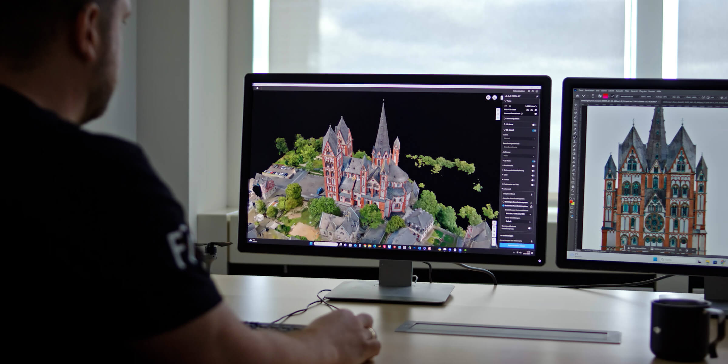
Collect planned overlapping imagery for orthomosaics, surface models and other photogrammetry outputs. Set the flight and control strategy around the accuracy requirement, then verify the finished dataset with independent checks.
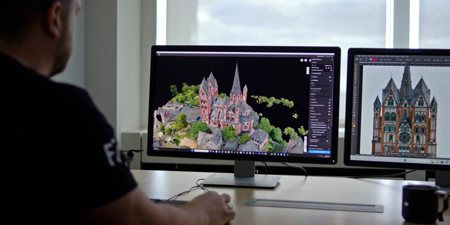
Repeat the same capture plan to document how a site changes. A 3D model can help teams discuss access, excavation and visible progress without relying on isolated ground photographs.
Use the wide and telephoto views to record roofs, facades, towers and other structures. The different camera perspectives help place a close-up finding within the wider asset context.
Capture imagery for volume and terrain analysis using suitable software. Consistent boundaries, reference surfaces and capture methods make comparisons between surveys more meaningful.
You must be logged in to post a review.
Reviews
There are no reviews yet.