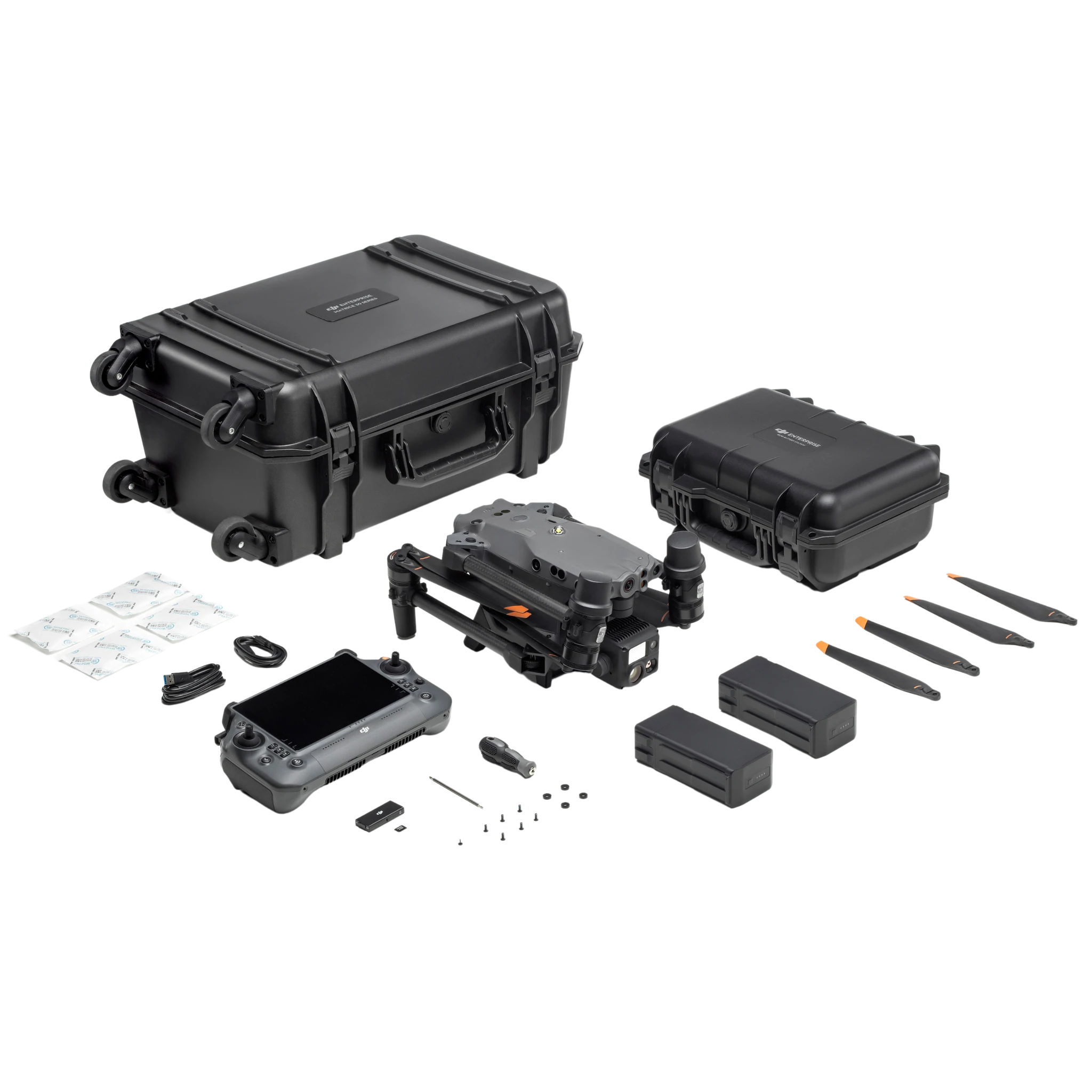
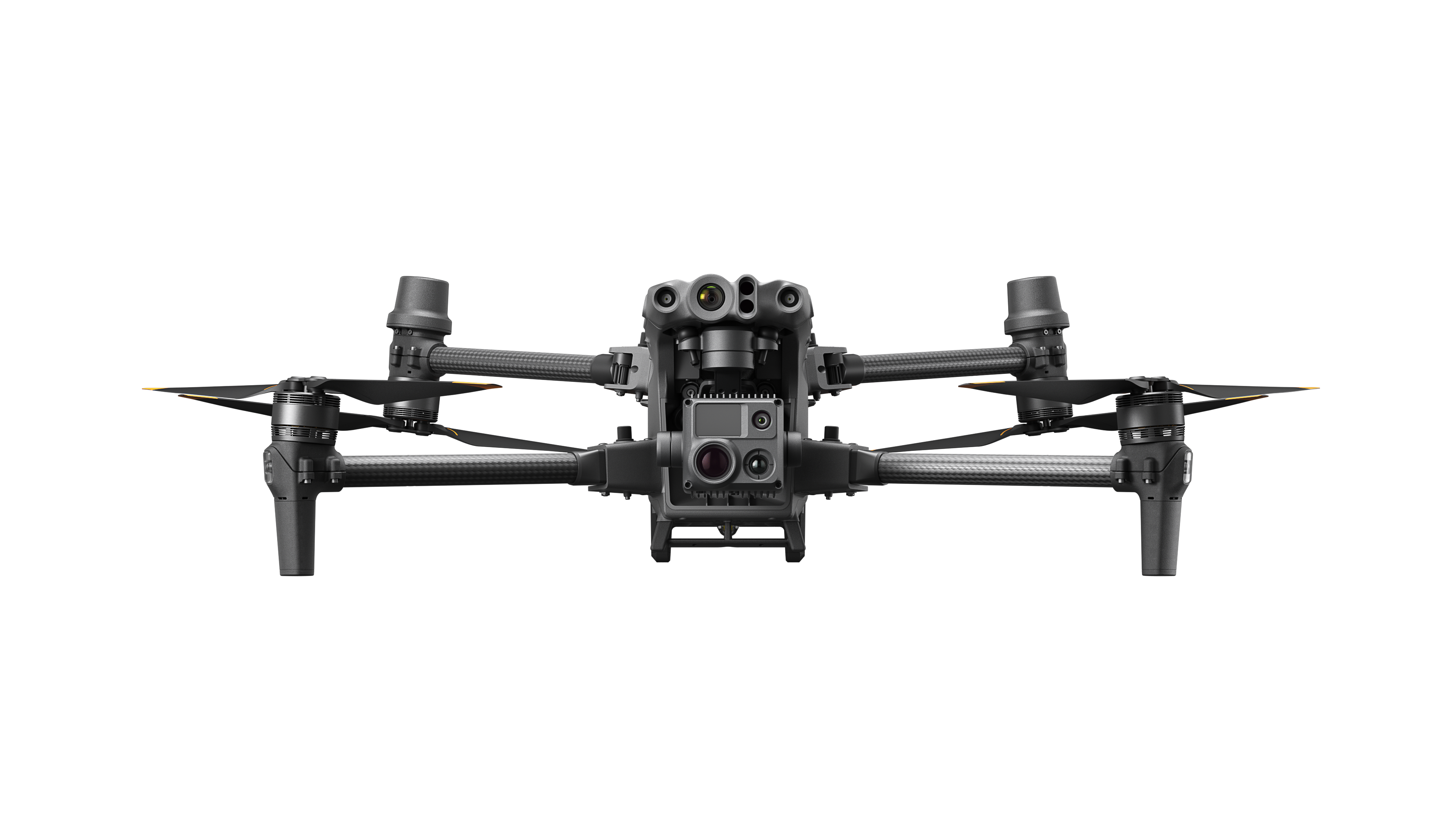
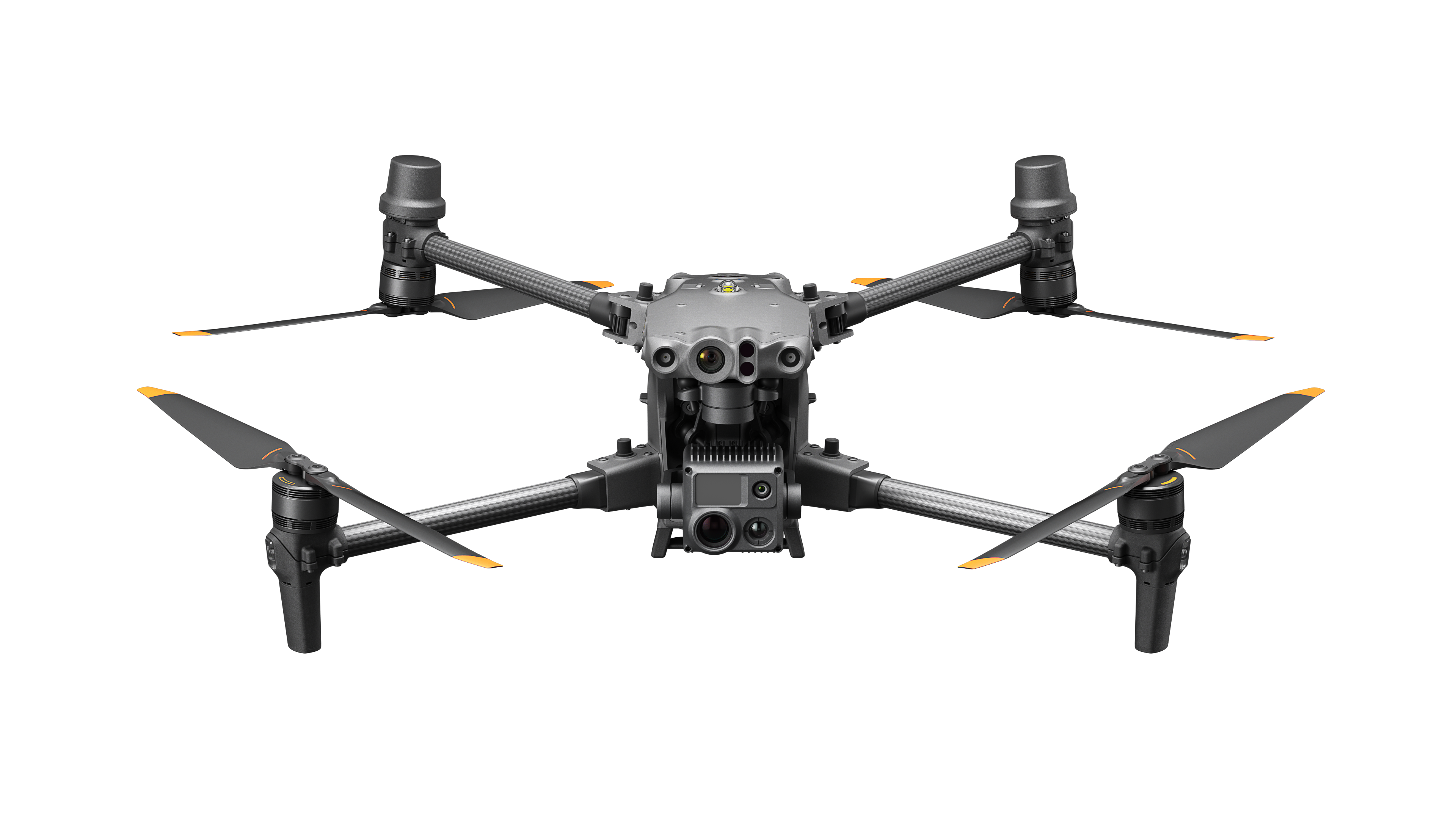


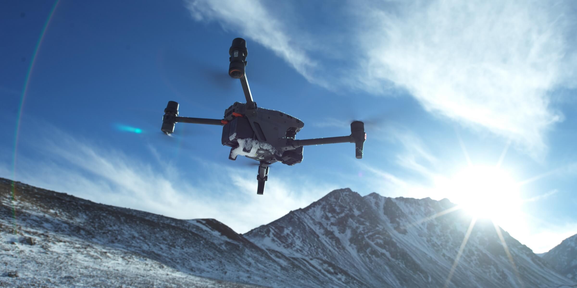
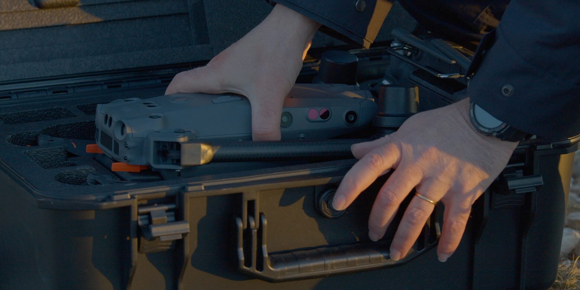
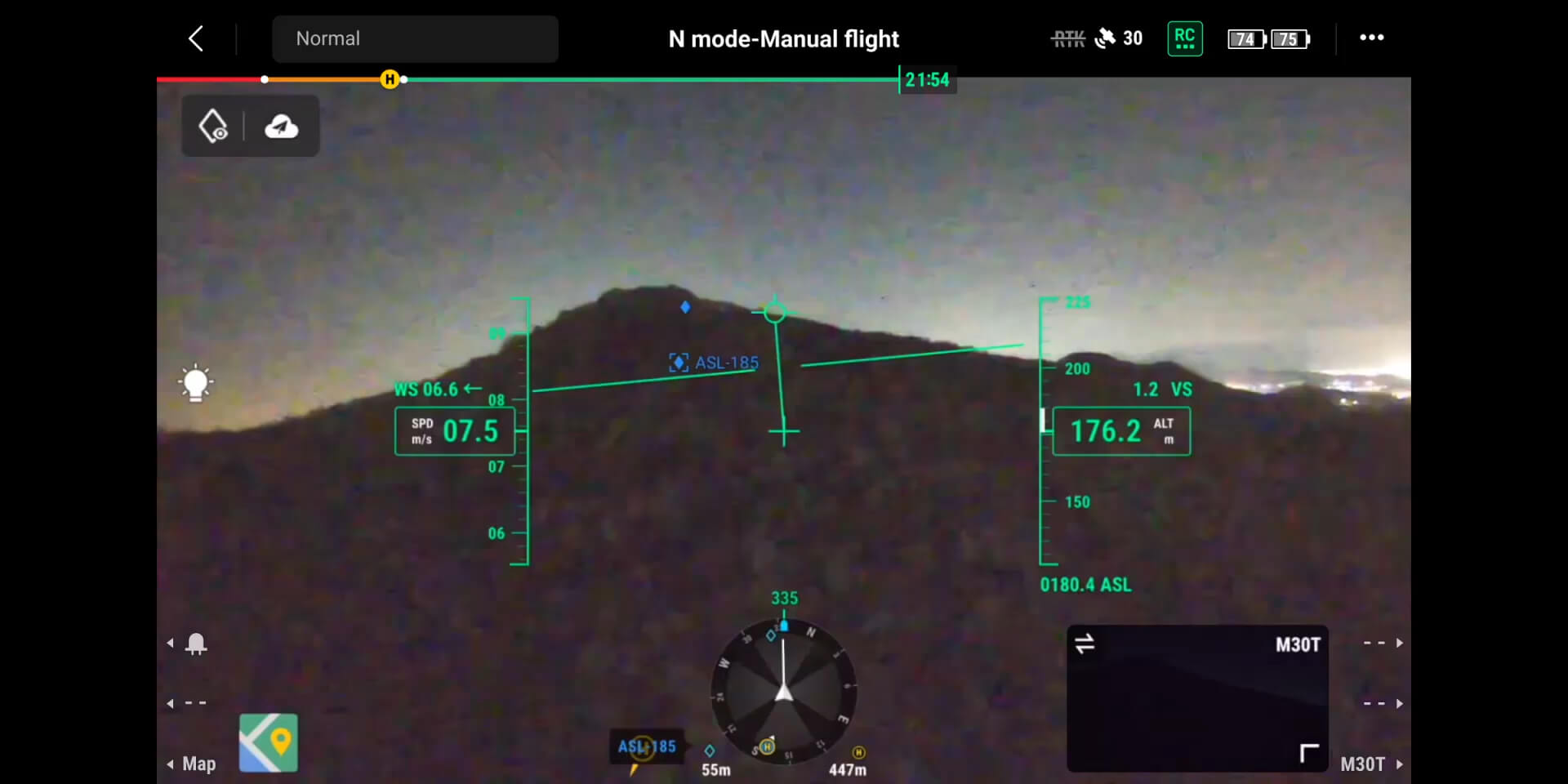
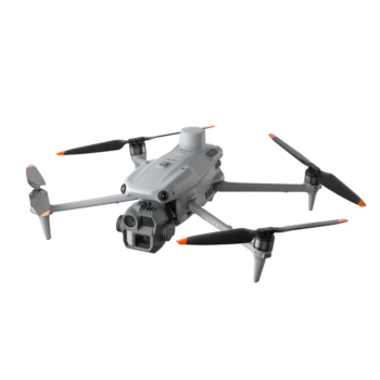
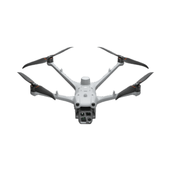
The DJI Matrice 30T combines an integrated thermal, zoom and wide-angle camera system with a folding enterprise airframe. It is designed for teams that need a portable aircraft for inspection, public safety and response work in demanding conditions. The fixed camera package keeps the core imaging tools together, while the RC Plus controller and DJI Pilot 2 provide a common interface for flight and mission information.
Watch DJI Matrice 30T on DJI’s YouTube channel. The film may show optional equipment or other models in the same series.
The M30T combines a 12 MP wide camera, a 48 MP zoom camera, a thermal camera and a laser rangefinder. The operator can use the wide view for context, zoom for visible detail and thermal imagery for temperature differences. DJI specifies a 5×–16× optical zoom range for the zoom camera. Higher digital zoom is useful for viewing but should not be confused with additional optical detail.
The thermal sensor’s native resolution is 640 × 512, with supported image-processing modes offering other output sizes. Spot and area measurement functions help document observed temperatures. Reliable interpretation requires attention to emissivity, reflections, distance and ambient conditions. Pair a thermal finding with a visible-light record and an appropriate inspection procedure before deciding on corrective action.
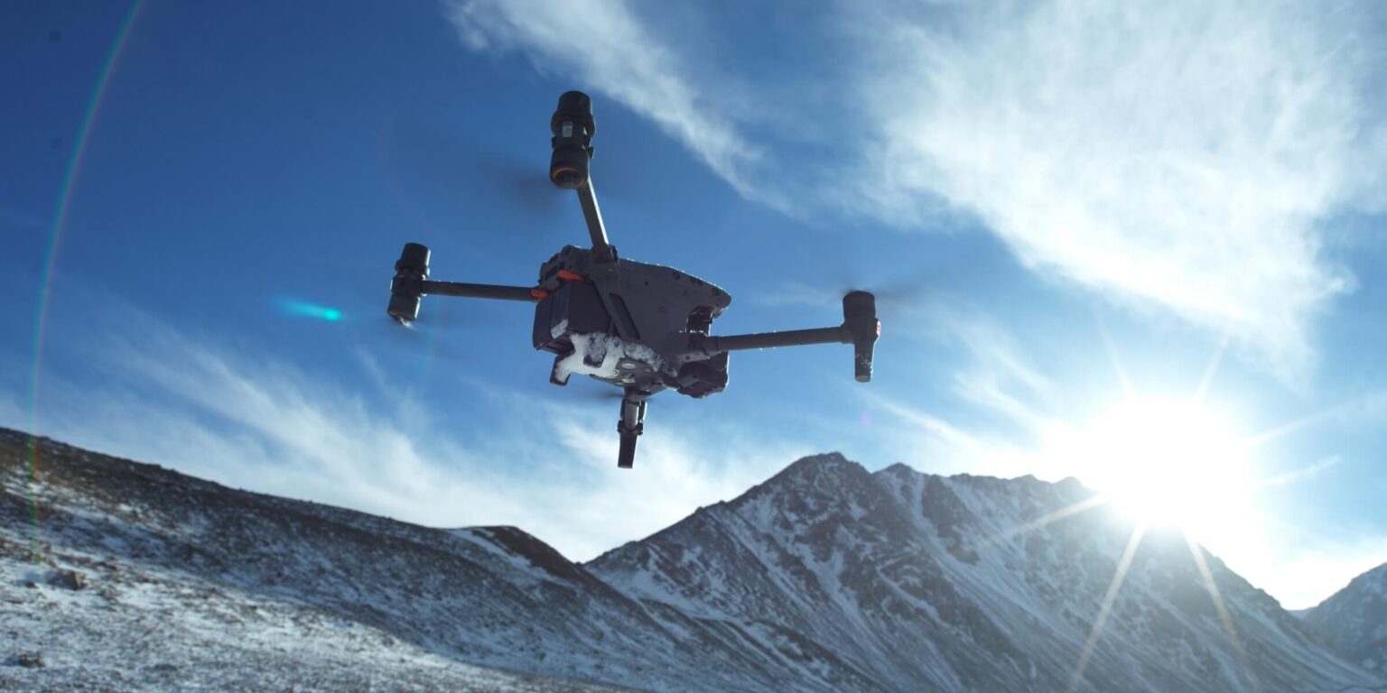
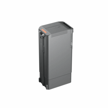
The aircraft has an IP55 rating and a stated operating range of -20°C to 50°C. These characteristics support use in challenging environments within DJI’s instructions, but IP55 does not mean the aircraft can be submerged or used in every weather condition. Two TB30 batteries power the aircraft; the BS30 station supports battery management for a planned field rotation.
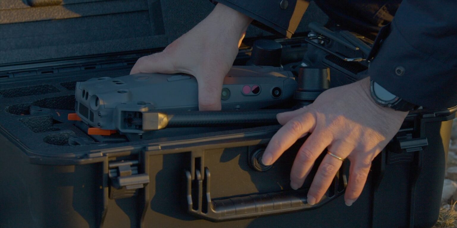
The folding design helps the team transport and deploy the aircraft between sites. The RC Plus controller and Pilot 2 combine aircraft status, camera views and mission tools. Vision and ToF sensing support obstacle awareness where their operating requirements are met. The M30T uses an integrated camera system rather than interchangeable Zenmuse payloads, so choose it around the thermal and visual tasks you actually need.
| Wide camera | 12 MP |
|---|---|
| Zoom camera | 48 MP; 5×–16× optical zoom range |
| Native thermal resolution | 640 × 512 |
| Laser rangefinder | Up to 1,200 m under DJI specified conditions |
| Maximum flight time | 41 minutes under DJI test conditions |
| Aircraft protection | IP55 under the prescribed conditions |
| Aircraft operating temperature | -20°C to 50°C |
| Flight batteries | Two TB30 batteries required |
* Maximum performance figures are measured in DJI’s specified test conditions. Actual endurance, payload and application results depend on configuration, terrain, weather and operating settings.
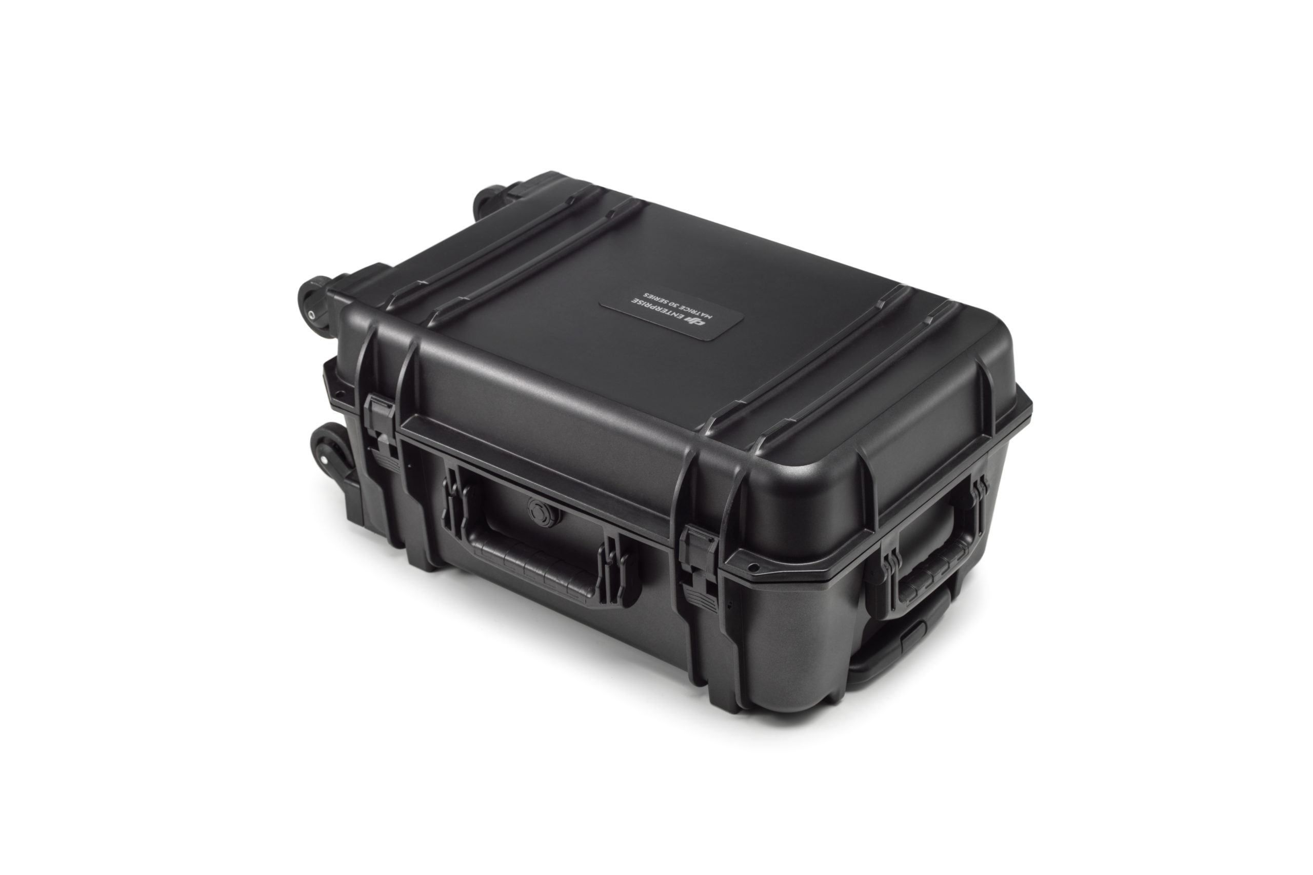
Confirm the number of batteries, charging equipment and accessories in the selected package. The BS30 station and additional TB30 pairs can be planned around the intended duty cycle. DJI’s series launch video also introduces DJI Dock; a standard M30T should not be assumed to be the separate Dock-version aircraft, and no Dock is included with this listing.
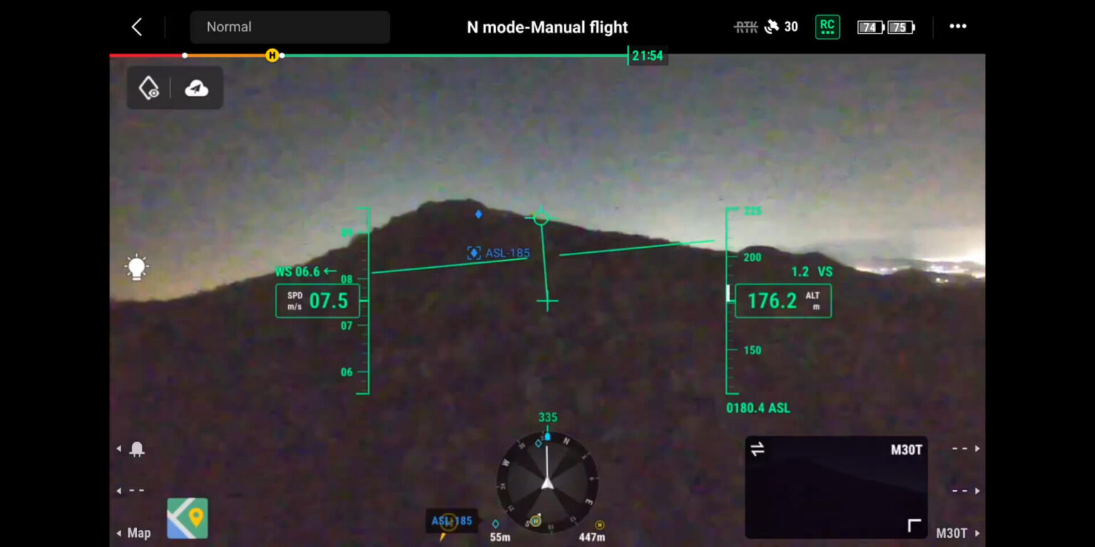
Explore the manufacturer’s product overview, full specifications and manuals and downloads.
Document thermal patterns and visible details on suitable industrial assets. A consistent capture method helps an inspection team compare findings and direct closer checks by the relevant specialist.
Use thermal, wide and zoom views to assess a scene and investigate possible subjects. The integrated sensors are useful when a response team needs several perspectives from one deployable aircraft.
Observe structures from an appropriate distance and record both an overview and close-up detail. Laser measurement and location tools can help explain where a finding sits on the asset.
Support planned observation of infrastructure, wildlife or incident areas across a large property. The folding aircraft and battery-pair workflow suit teams moving between several locations during a working day.
| Weight | 16.315 kg |
|---|---|
| Dimensions | 77.5 × 31 × 45 cm |
| Product |
You must be logged in to post a review.

Reviews
There are no reviews yet.