Description
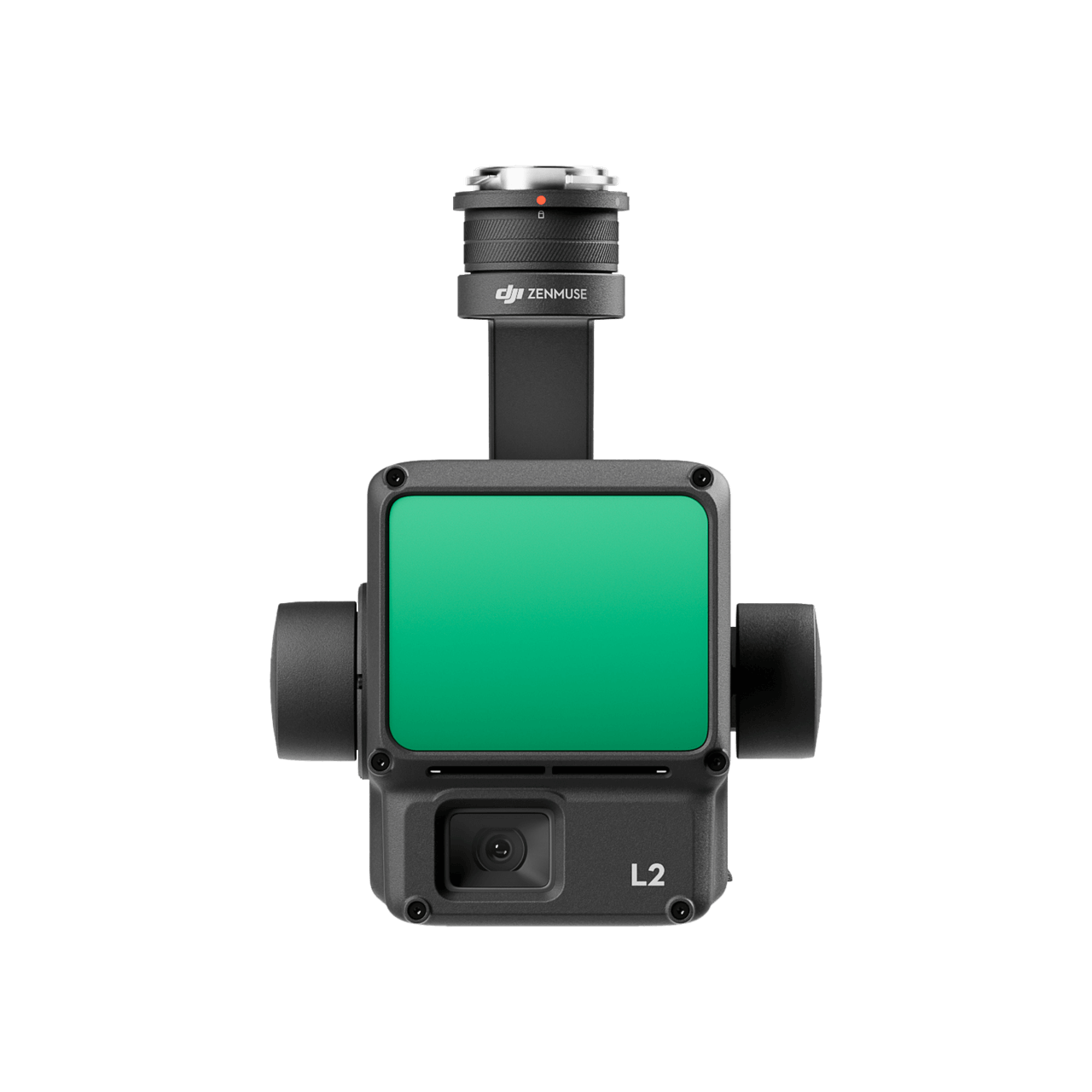
The DJI Zenmuse L2 combines LiDAR, an inertial measurement system and an RGB mapping camera for aerial geospatial data capture.
Key Features
- Integrated LiDAR and RGB data collection.
- Supports terrain mapping and inspection workflows.
- DJI Terra provides a compatible processing workflow.
Specifications
| RGB camera |
20 MP, 4/3 CMOS |
| Sensor combination |
LiDAR, IMU and RGB camera |
| Typical use |
Surveying, terrain mapping and asset inspection |
Compatibility & Package Notes
Confirm aircraft, gimbal and firmware compatibility before ordering. Processing software, aircraft and positioning equipment are separate unless specified. Survey accuracy depends on flight planning, correction data and processing.
Manufacturer information: DJI product information.


Reviews
There are no reviews yet.