Description
DJI Terra Agriculture is DJI’s agriculture-focused mapping software licence. It supports agricultural mapping workflows, including field-map reconstruction and the processing of compatible survey data for agricultural planning. This listing is the one-year licence option for three devices.
Key Features
-
Agriculture edition
Focused on the mapping tools offered in DJI’s Agriculture licence.
-
Field mapping workflow
Process compatible survey data for agricultural map-based planning.
-
Defined licence term
One-year licence for the three-device option listed here.
Specifications
| Category |
Details |
| Software |
DJI Terra |
| Edition |
Agriculture |
| Licence term |
1 year |
| Device allowance |
3 devices |
| Product type |
Software licence |
Compatibility & Package Notes
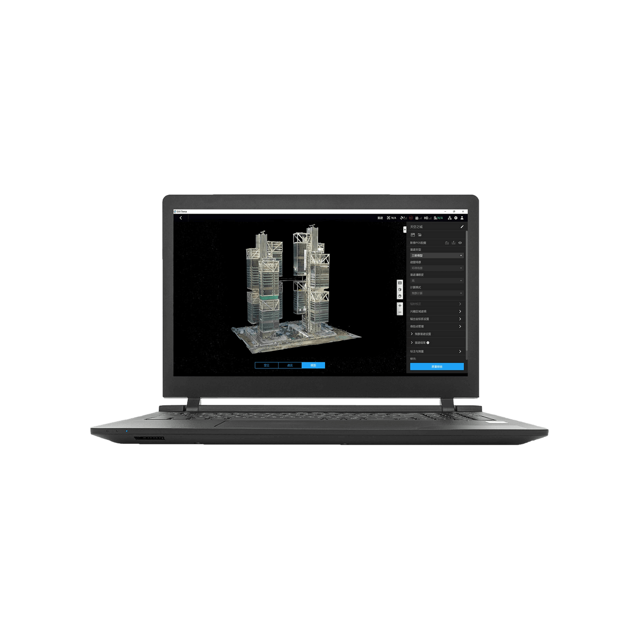
This is software, not a drone, computer or surveying accessory. Agriculture-edition entitlements apply; features advertised for other Terra editions are not included by implication. Confirm computer requirements, supported data and activation arrangements before purchase. The image illustrates DJI Terra software and does not define this edition’s features.
Manufacturer information: DJI product information.

Reviews
There are no reviews yet.