
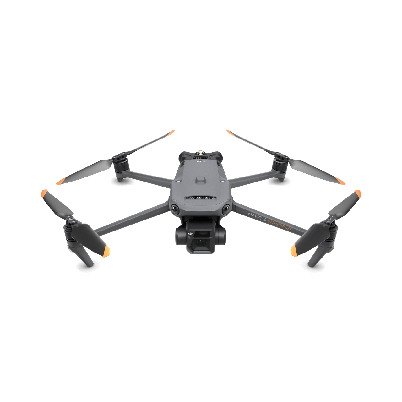
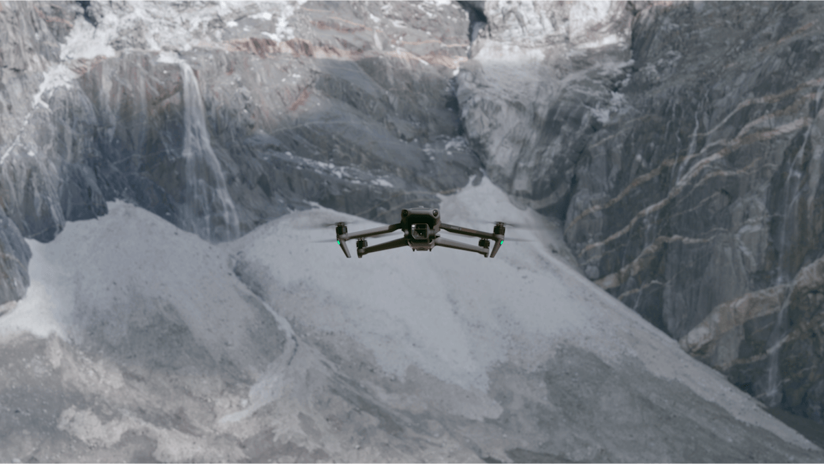
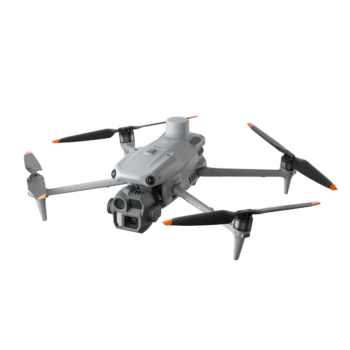
The DJI Mavic 3E gives survey, construction and inspection teams a compact aircraft built around a 20 MP Four Thirds camera with a mechanical shutter. It is designed to collect useful aerial data without the transport footprint of a larger payload platform. A telephoto camera supports closer visual assessment, while the optional RTK module adds a precision-positioning workflow for customers who need it.
Watch DJI Mavic 3E on DJI’s YouTube channel. The film may show optional equipment or other models in the same series.
The wide camera combines a Four Thirds sensor, adjustable aperture and mechanical shutter. This is valuable when collecting overlapping photographs while the aircraft moves along a survey route. Short capture intervals support efficient image collection, but the final map or model still depends on flight height, overlap, lighting and processing. The mechanical shutter addresses image capture; it does not by itself guarantee a survey accuracy.
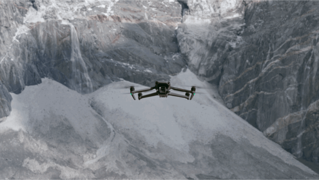
Alongside the wide camera, the Mavic 3E carries a telephoto camera with up to 56× hybrid zoom. The operator can inspect a feature from the wider scene before deciding whether a closer flight is needed. Hybrid zoom includes digital enlargement, so it should not be treated as a 56× optical lens. The 3E is the visible-light mapping model; it does not include the thermal camera shown on the 3T in DJI’s series video.
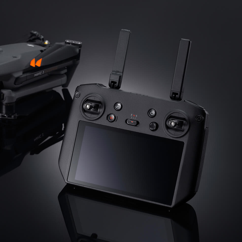
The folding aircraft and DJI RC Pro Enterprise controller suit teams moving between construction sites, farms and inspection locations. DJI Pilot 2 supports mission planning and aircraft operation. Omnidirectional sensing and return-to-home assistance help the pilot manage the flight environment, with sensing performance dependent on light, surface texture and clear sensor views.
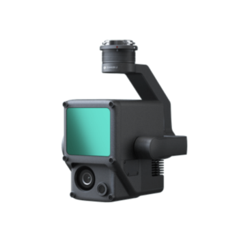
Add the compatible RTK module when the project requires a supported precision-positioning workflow, then provide an appropriate correction source. Use suitable processing software to turn imagery into an orthomosaic, 3D model or measurement dataset. Ground control and independent checkpoints should be selected for the job. Processing licences and positioning services are separate considerations from the aircraft itself.
| Wide camera | 20 MP, 4/3 CMOS |
|---|---|
| Wide lens | 24 mm equivalent; f/2.8–f/11 |
| Shutter | Mechanical and electronic |
| Telephoto | 12 MP camera; up to 56× hybrid zoom |
| Maximum flight time | 45 minutes with standard Mavic 3 battery and Enterprise propellers, under DJI test conditions |
| Controller | DJI RC Pro Enterprise |
| Transmission | DJI O3 Enterprise |
| RTK | Optional aircraft module and suitable corrections required |
* Maximum performance figures are measured in DJI’s specified test conditions. Actual endurance, payload and application results depend on configuration, terrain, weather and operating settings.
The optional RTK module, D-RTK station, speaker, extra batteries and software licences should be checked separately against the selected package. The launch video covers the wider Mavic 3 Enterprise family, including thermal models; those thermal capabilities do not apply to this Mavic 3E listing. Battery and propeller variants change endurance.
Explore the manufacturer’s product overview, full specifications and manuals and downloads.
Fly a repeatable route to capture a consistent overview of a building site. Process successive surveys to help teams compare earthworks, access routes and visible progress, keeping the capture method consistent between visits.
Collect overlapping imagery for a suitable photogrammetry workflow. Volume comparisons require appropriate processing, a defined reference surface and accuracy checks; the aircraft supplies imagery rather than a ready-made certified measurement.
Create an up-to-date visual base map for field boundaries, roads, fences and infrastructure. The compact aircraft can be useful when several locations must be documented in a day.
Use the wide and telephoto views to document roofs, towers and other accessible assets. For temperature assessment, select a thermal-capable aircraft instead; the 3E is suited to visible-light evidence and mapping.
You must be logged in to post a review.

Reviews
There are no reviews yet.