
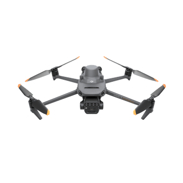
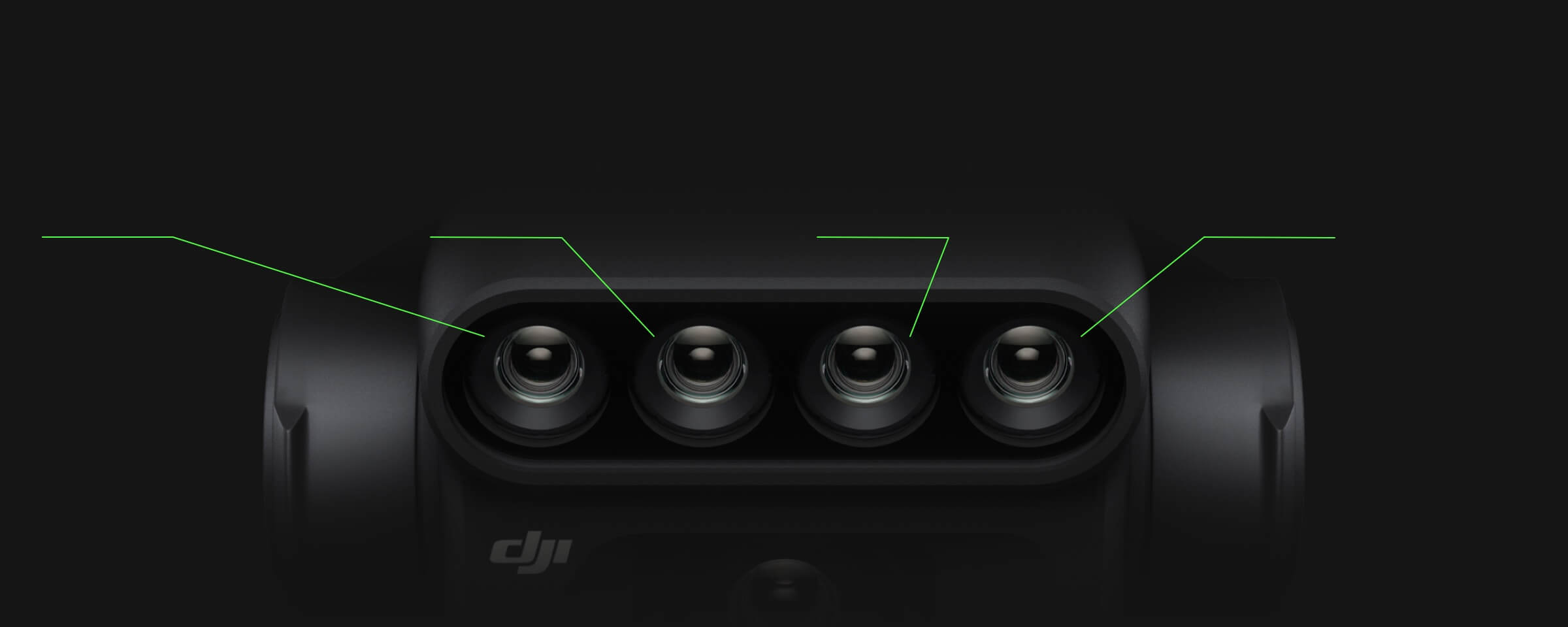
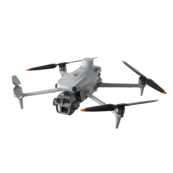
The DJI Mavic 3 Multispectral combines a 20 MP RGB camera with four multispectral cameras in a compact folding aircraft. It helps agricultural teams look beyond an ordinary colour photograph, capturing spectral information that can support crop scouting and spatial analysis. RGB imagery gives the field context; multispectral data helps identify variation that deserves closer investigation on the ground.
Watch DJI Mavic 3 Multispectral on DJI’s YouTube channel. The film may show optional equipment or other models in the same series.
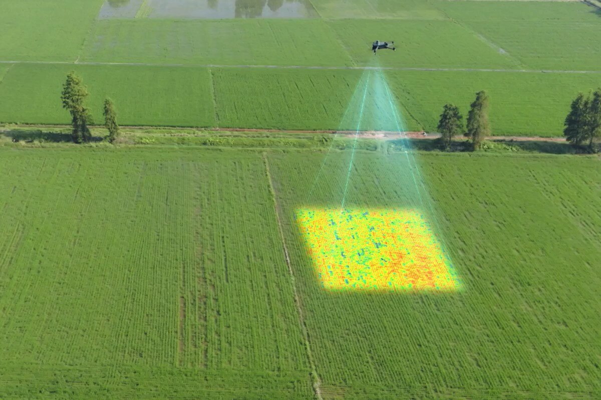
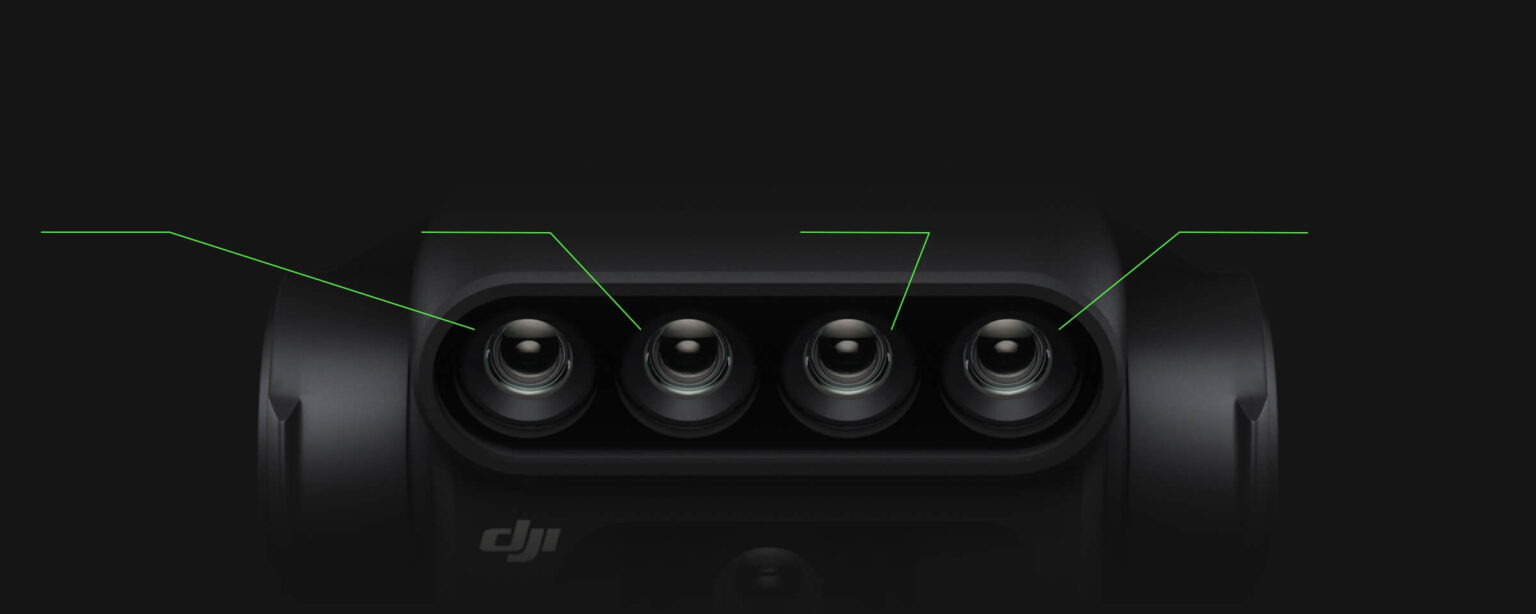
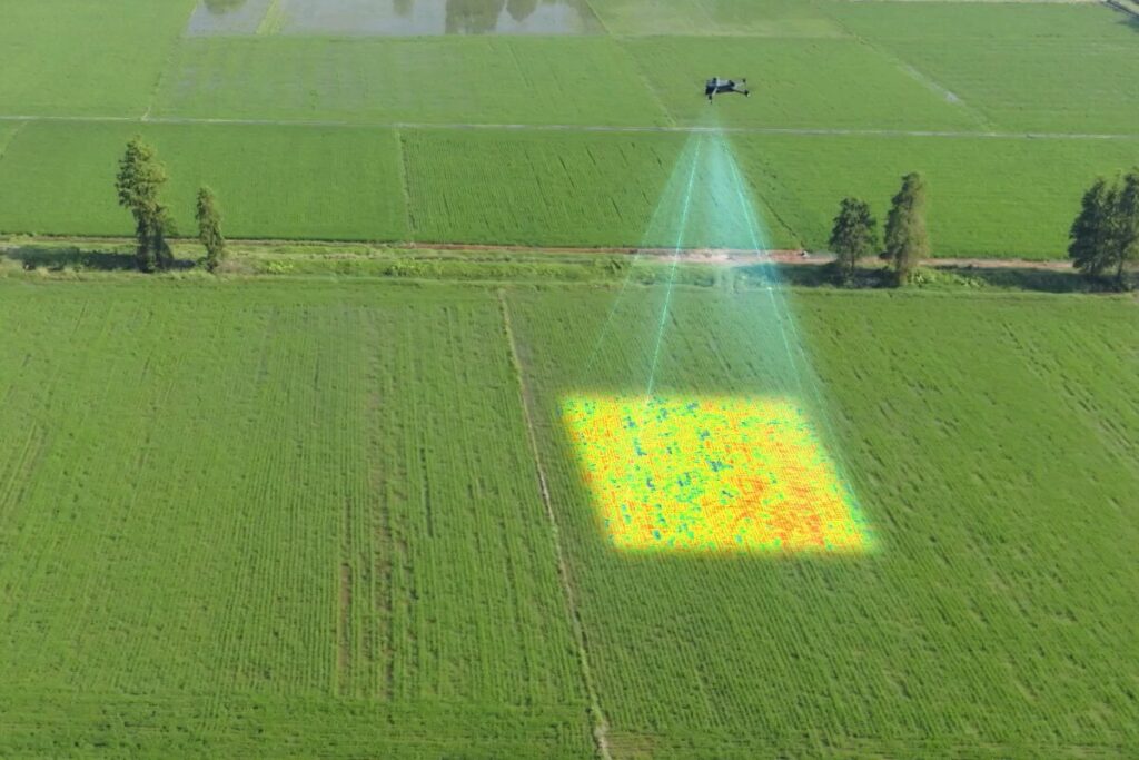
The camera system records green, red, red-edge and near-infrared bands alongside RGB imagery. Suitable processing tools can use these bands to create vegetation-index maps and other analytical outputs. These maps help reveal patterns across a field, but colour differences are not a diagnosis by themselves. Crop stage, weather, soil conditions and field observations are needed to interpret the result.
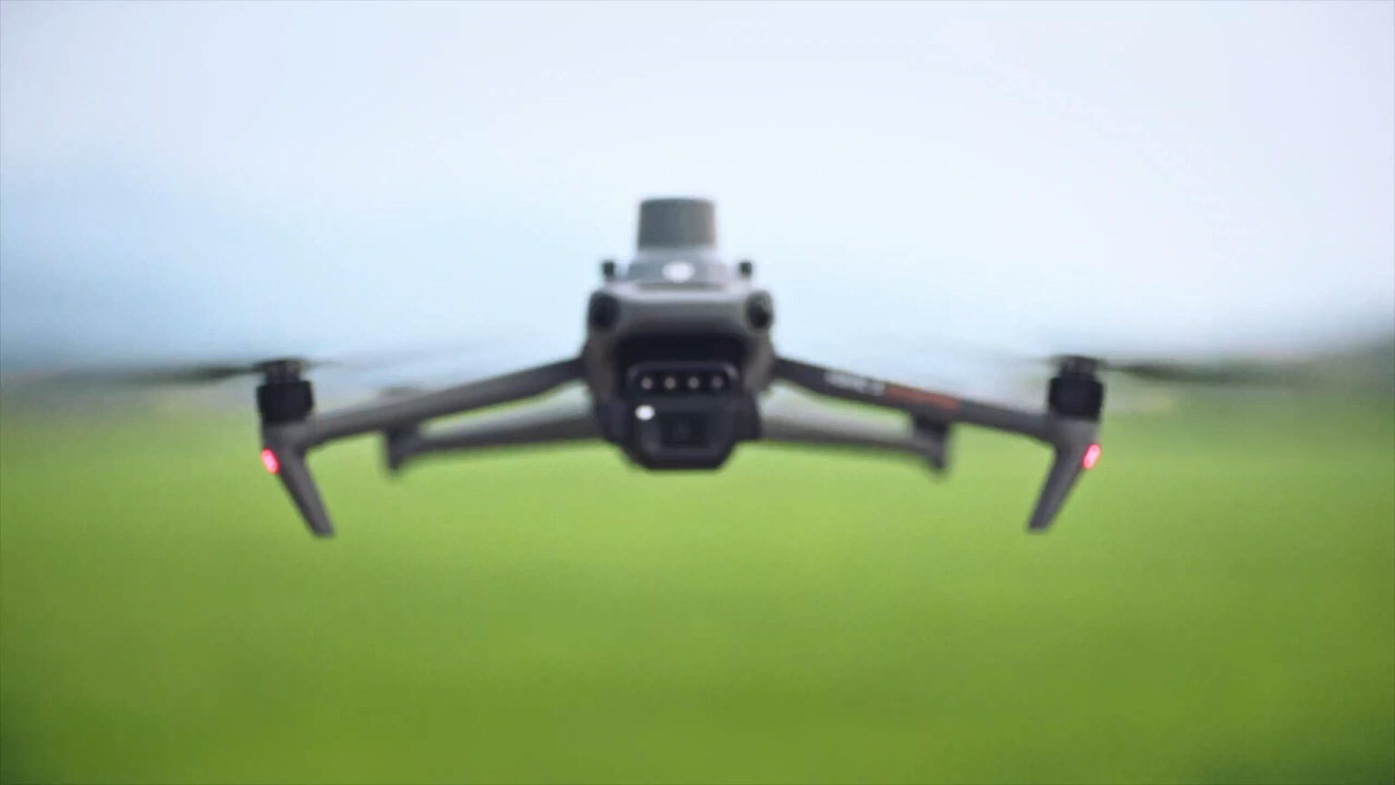
An integrated sunlight sensor records illumination information to assist with radiometric correction during processing. The RTK module and synchronized image positioning support a precise acquisition workflow when appropriate corrections are available. Consistent flight planning, capture conditions and processing methods make repeat surveys more useful for comparing change over time.
RGB imagery can support orchard and field mapping, while multispectral outputs can inform management zones and variable-rate planning with compatible software. The Mavic 3M is a survey and scouting aircraft: it does not spray or spread. An Agras aircraft and its application equipment carry out the treatment stage after the data has been processed and checked.
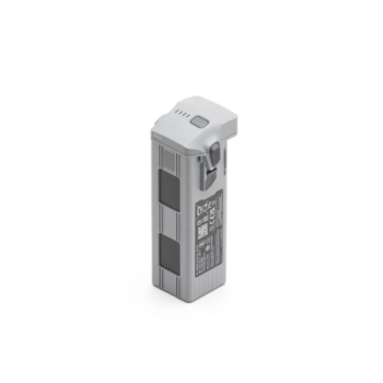
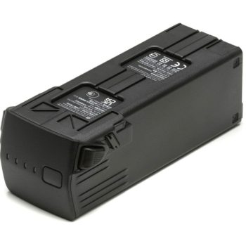
The folding design and supported automated routes make the aircraft practical for revisiting fields throughout a season. Omnidirectional sensing and terrain-following survey functions assist operation where their environmental requirements are met. Plan battery reserves and routes around the actual terrain; DJI’s maximum flight time is a test figure, not a promise of productive mapping time on every mission.
| RGB camera | 20 MP, 4/3 CMOS with mechanical shutter |
|---|---|
| Multispectral cameras | Four 5 MP cameras |
| Spectral bands | Green, red, red edge and near infrared |
| Sunlight sensor | Illumination measurement for image correction |
| Positioning | RTK module; suitable correction source required |
| Maximum flight time | 43 minutes under DJI test conditions |
| Output workflow | RGB mapping and multispectral processing |
| Aircraft function | Surveying and scouting; no spraying system |
* Maximum performance figures are measured in DJI’s specified test conditions. Actual endurance, payload and application results depend on configuration, terrain, weather and operating settings.
Confirm the aircraft package, RTK correction arrangement and required processing software with Afridrones. Mapping licences, cloud services and an Agras application aircraft are separate from this listing unless expressly included. Multispectral interpretation should be checked against field observations before changing a treatment programme.
Explore the manufacturer’s product overview, full specifications and manuals and downloads.
Use vegetation maps to prioritise where an agronomist or farm team should walk the field. A pattern can identify an area of concern without claiming to distinguish nutrient, water, pest or disease stress automatically.
Map variation within an irrigated or rain-fed field and compare it with soil, yield or irrigation information. The combined evidence can help structure field trials and future sampling.
With compatible processing software and an agronomic plan, turn mapped variation into a prescription for supported application equipment. Review the prescription before moving to an Agras spraying or spreading operation.
Create RGB maps of orchard blocks and repeat the survey to document canopy and site changes. Multispectral data adds another layer for investigation, while ground checks establish what the observed changes mean.
You must be logged in to post a review.
Reviews
There are no reviews yet.